国立情報学研究所 - ディジタル・シルクロード・プロジェクト
| |||||||||
|
| Scientific Results of a Journey in Central Asia, 1899-1902 : vol.3 | |
| 1899-1902年の中央アジア旅行における科学的成果 : vol.3 |
 |
OVER THE ARKA-TAGH FROM KAPA.
535
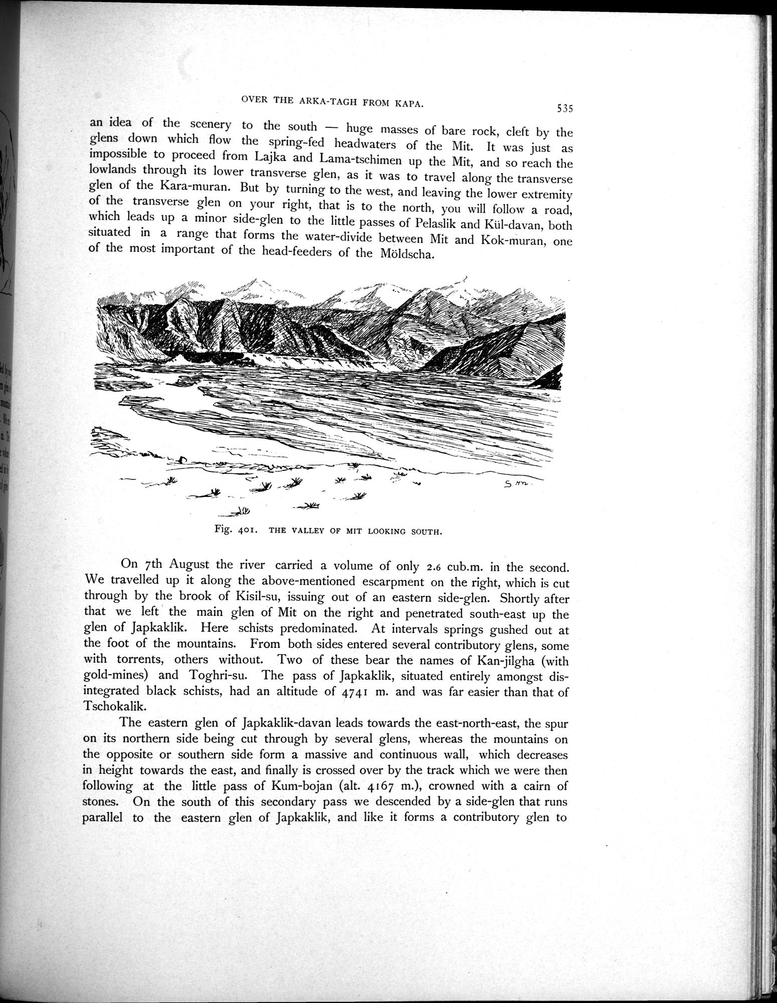
an idea of the scenery to the south — huge masses of bare rock, cleft by the glens down which flow the spring-fed headwaters of the Mit. It was just as impossible to proceed from Lajka and Lama-tschimen up the Mit, and so reach the lowlands through its lower transverse glen, as it was to travel along the transverse glen of the Kara-muran. But by turning to the west, and leaving the lower extremity of the transverse glen on your right, that is to the north, you will follow a road, which leads up a minor side-glen to the little passes of Pelaslik and Kul-davan, both situated in a range that forms the water-divide between Mit and Kok-muran, one of the most important of the head-feeders of the Möldscha.
~
„-
•
f~ ~ =, ,~-_~•,
~/.
r
_
~'/-•l^''1I4s11146,_
~~.
H-r
Fig. 40I. THE VALLEY OF MIT LOOKING SOUTH.
On 7th August the river carried a volume of only 2.6 cub.m. in the second. We travelled up it along the above-mentioned escarpment on the right, which is cut through by the brook of Kisil-su, issuing out of an eastern side-glen. Shortly after that we left the main glen of Mit on the right and penetrated south-east up the glen of Japkaklik. Here schists predominated. At intervals springs gushed out at the foot of the mountains. From both sides entered several contributory glens, some with torrents, others without. Two of these bear the names of Kan-jilgha (with gold-mines) and Toghri-su. The pass of Japkaklik, situated entirely amongst disintegrated black schists, had an altitude of 4741 m. and was far easier than that of Tschokalik.
The eastern glen of Japkaklik-davan leads towards the east-north-east, the spur on its northern side being cut through by several glens, whereas the mountains on the opposite or southern side form a massive and continuous wall, which decreases in height towards the east, and finally is crossed over by the track which we were then following at the little pass of Kum-bojan (alt. 4167 m.), crowned with a cairn of stones. On the south of this secondary pass we descended by a side-glen that runs parallel to the eastern glen of Japkaklik, and like it forms a contributory glen to
|
Copyright (C) 2003-2019
National Institute of Informatics(国立情報学研究所)
and
The Toyo Bunko(東洋文庫). All Rights Reserved.
本ウェブサイトに掲載するデジタル文化資源の無断転載は固くお断りいたします。