国立情報学研究所 - ディジタル・シルクロード・プロジェクト
| |||||||||
|
| Scientific Results of a Journey in Central Asia, 1899-1902 : vol.3 | |
| 1899-1902年の中央アジア旅行における科学的成果 : vol.3 |
 |
|
| |||||
| 312 JOURNEY TO ANAMBARUIN-ULA. | |||||
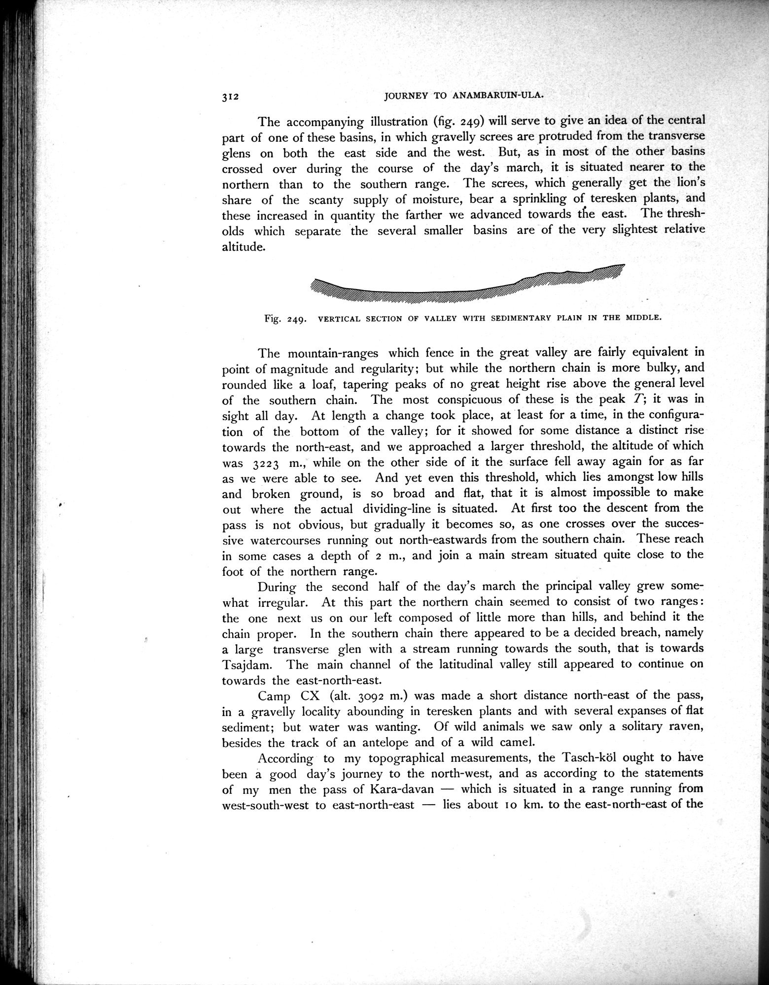
| The accompanying illustration (fig. 249) will serve to give an idea of the central part of one of these basins, in which gravelly screes are protruded from the transverse glens on both the east side and the west. But, as in most of the other basins crossed over during the course of the day's march, it is situated nearer to the northern than to the southern range. The screes, which generally get the lion's share of the scanty supply of moisture, bear a sprinkling of teresken plants, and these increased in quantity the farther we advanced towards the east. The thresholds which separate the several smaller basins are of the very slightest relative altitude. | |||||
| Fig. 249. VERTICAL SECTION OF VALLEY WITH SEDIMENTARY PLAIN IN THE MIDDLE. The mountain-ranges which fence in the great valley are fairly equivalent in point of magnitude and regularity; but while the northern chain is more bulky, and rounded like a loaf, tapering peaks of no great height rise above the general level of the southern chain. The most conspicuous of these is the peak T; it was in sight all day. At length a change took place, at least for a time, in the configuration of the bottom of the valley; for it showed for some distance a distinct rise towards the north-east, and we approached a larger threshold, the altitude of which was 3223 In., while on the other side of it the surface fell away again for as far as we were able to see. And yet even this threshold, which lies amongst low hills and broken ground, is so broad and flat, that it is almost impossible to make out where the actual dividing-line is situated. At first too the descent from the pass is not obvious, but gradually it becomes so, as one crosses over the successive watercourses running out north-eastwards from the southern chain. These reach in some cases a depth of 2 m., and join a main stream situated quite close to the foot of the northern range. During the second half of the day's march the principal valley grew somewhat irregular. At this part the northern chain seemed to consist of two ranges : the one next us on our left composed of little more than hills, and behind it the chain proper. In the southern chain there appeared to be a decided breach, namely a large transverse glen with a stream running towards the south, that is towards Tsajdam. The main channel of the latitudinal valley still appeared to continue on towards the east-north-east. Camp CX (alt. 3092 m.) was made a short distance north-east of the pass, in a gravelly locality abounding in teresken plants and with several expanses of flat sediment; but water was wanting. Of wild animals we saw only a solitary raven, besides the track of an antelope and of a wild camel. According to my topographical measurements, the Tasch-köl ought to have been a good day's journey to the north-west, and as according to the statements of my men the pass of Kara-davan — which is situated in a range running from west-south-west to east-north-east — lies about to km. to the east-north-east of the | ~ | ||||
|
Copyright (C) 2003-2019
National Institute of Informatics(国立情報学研究所)
and
The Toyo Bunko(東洋文庫). All Rights Reserved.
本ウェブサイトに掲載するデジタル文化資源の無断転載は固くお断りいたします。