国立情報学研究所 - ディジタル・シルクロード・プロジェクト
| |||||||||
|
| Scientific Results of a Journey in Central Asia, 1899-1902 : vol.3 | |
| 1899-1902年の中央アジア旅行における科学的成果 : vol.3 |
 |
EAST AND NORTH OF ANAMBARUIN-ULA.
359
Our next short march, from Scho-ovo-tu, led towards the south-west, our route making an acute angle back to the immediate neighbourhood of the base of the range, while the ascent was quite sensible. It was difficult marching by reason of the countless number of deep and tiring gullies and eroded watercourses. These are generally 2 to 3 m. deep; but there was no escape from them: we had to go down into them and then up again, each in turn, and not seldom we had two of these to deal with in the course of only five minutes. They are more or less filled with gravel and are grassed at the sides. Their direction is north-north-west, and upon reaching the lowlands, they appeared to unite into a larger stream which inclined steadily towards the west, though I was not able to see quite certainly because of the mist. After it had cleared a little, we were able to make out that the surface falls away for a great distance towards the north, while far away were white strips of snow alternating with dark strips of bare ground, and still farther beyond them a confused thickening, which looked like a low ridge of no importance, probably the extreme eastward continuation of the minor desert range which we subsequently crossed over whilst on the road from Anambar (Kan-ambal) to Atschik-kuduk.
1
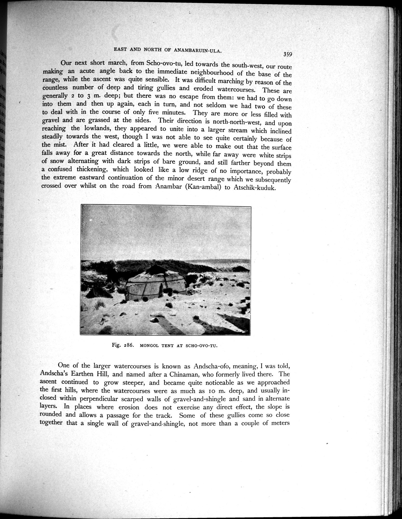
Fig. 286. MONGOL TENT AT SCHO-OVO-TU.
~I!
i
One of the larger watercourses is known as Andscha-ofo, meaning, I was told, Andscha's Earthen Hill, and named after a Chinaman, who formerly lived there. The ascent continued to grow steeper, and became quite noticeable as we approached the first hills, where the watercourses were as much as I o m. deep, and usually inclosed within perpendicular scarped walls of gravel-and-shingle and sand in alternate layers. In places where erosion does not exercise any direct effect, the slope is rounded and allows a passage for the track. Some of these gullies come so close together that a single wall of gravel-and-shingle, not more than a couple of meters
|
Copyright (C) 2003-2019
National Institute of Informatics(国立情報学研究所)
and
The Toyo Bunko(東洋文庫). All Rights Reserved.
本ウェブサイトに掲載するデジタル文化資源の無断転載は固くお断りいたします。