国立情報学研究所 - ディジタル・シルクロード・プロジェクト
| |||||||||
|
| Scientific Results of a Journey in Central Asia, 1899-1902 : vol.3 | |
| 1899-1902年の中央アジア旅行における科学的成果 : vol.3 |
 |
1
THE AJAGH-KUM-KÖL AND THENCE TO PASCHALIK-SAJ. 233
race in foaming cascades. Several of these we experienced great difficulty in passing. In one small expansion the bottom of the glen was wholly covered with glassy ice, frozen in layers, the water having issued from an adjacent spring. Below that point we met with no more difficult passages. The glen has a rapid fall, as is indeed inevitable from the great difference in elevation of the two latitudinal valleys that it unites. The accompanying illustration (fig. 182) shows the usual type of its vertical section. Finally the glen widens out, and its stream acquires small erosion terraces. Just before emerging upon the Tschimen valley it is joined from the left by a couple of large side-glens. Yet strange to say, the watercourses which descend with these side-glens do not unite with the watercourse of the Kum-bulak glen; but, after approaching quite close to it, they begin to diverge, leaving between them
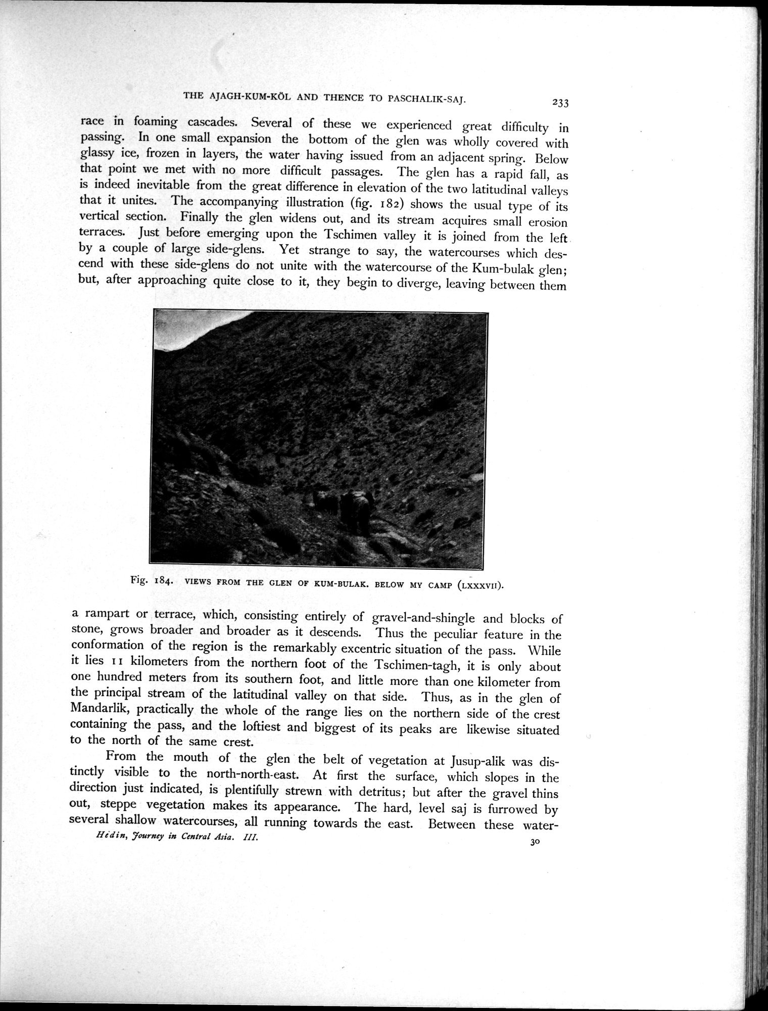
Fig. 184. VIEWS FROM THE GLEN OF KUM-BULAK. BELOW MY CAMP (LXXXVII).
a rampart or terrace, which, consisting entirely of gravel-and-shingle and blocks of stone, grows broader and broader as it descends. Thus the peculiar feature in the conformation of the region is the remarkably excentric situation of the pass. While it lies II kilometers from the northern foot of the Tschimen-tagh, it is only about one hundred meters from its southern foot, and little more than one kilometer from the principal stream of the latitudinal valley on that side. Thus, as in the glen of Mandarlik, practically the whole of the range lies on the northern side of the crest containing the pass, and the loftiest and biggest of its peaks are likewise situated to the north of the same crest.
From the mouth of the glen the belt of vegetation at Jusup-alik was distinctly visible to the north-north-east. At first the surface, which slopes in the direction just indicated, is plentifully strewn with detritus; but after the gravel thins out, steppe vegetation makes its appearance. The hard, level saj is furrowed by several shallow watercourses, all running towards the east. Between these water-
Hi d i n, Journey in Central Asia. III. 3o
|
Copyright (C) 2003-2019
National Institute of Informatics(国立情報学研究所)
and
The Toyo Bunko(東洋文庫). All Rights Reserved.
本ウェブサイトに掲載するデジタル文化資源の無断転載は固くお断りいたします。