国立情報学研究所 - ディジタル・シルクロード・プロジェクト
| |||||||||
|
| Scientific Results of a Journey in Central Asia, 1899-1902 : vol.3 | |
| 1899-1902年の中央アジア旅行における科学的成果 : vol.3 |
 |
20 MY FIRST JOURNEY IN NORTH-EASTERN TIBET.
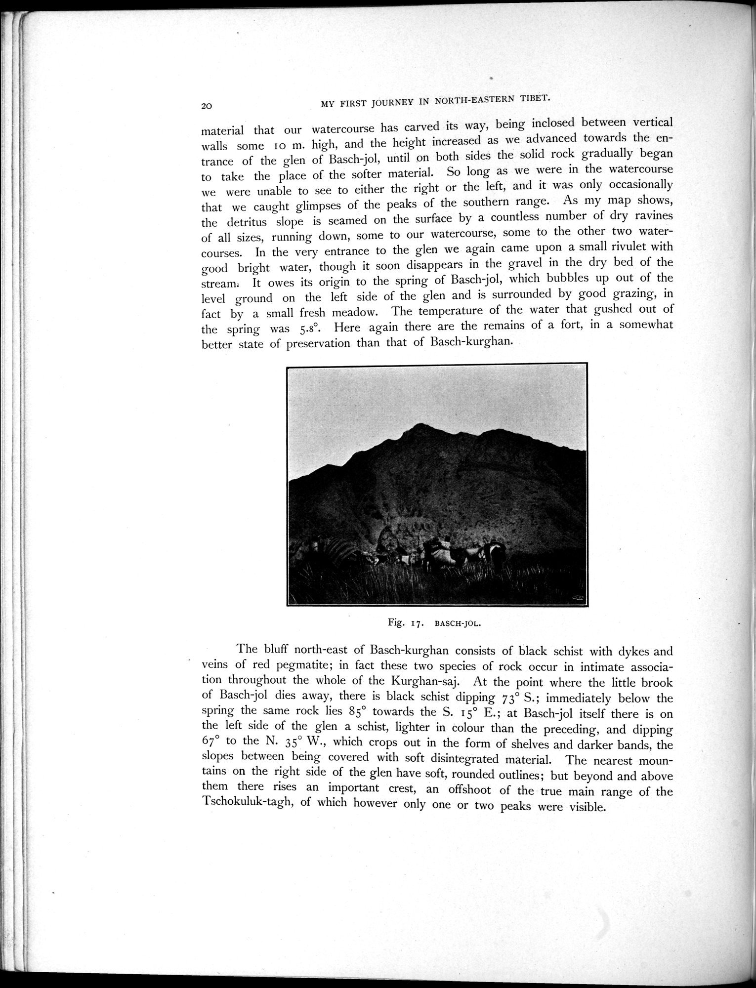
material that our watercourse has carved its way, being inclosed between vertical walls some 1 o m. high, and the height increased as we advanced towards the entrance of the glen of Basch-jol, until on both sides the solid rock gradually began to take the place of the softer material. So long as we were in the watercourse we were unable to see to either the right or the left, and it was only occasionally that we caught glimpses of the peaks of the southern range. As my map shows, the detritus slope is seamed on the surface by a countless number of dry ravines of all sizes, running down, some to our watercourse, some to the other two watercourses. In the very entrance to the glen we again came upon a small rivulet with good bright water, though it soon disappears in the gravel in the dry bed of the stream. It owes its origin to the spring of Basch jol, which bubbles up out of the level ground on the left side of the glen and is surrounded by good grazing, in fact by a small fresh meadow. The temperature of the water that gushed out of the spring was 5.8°. Here again there are the remains of a fort, in a somewhat better state of preservation than that of Basch-kurghan.
The bluff north-east of Basch-kurghan consists of black schist with dykes and veins of red pegmatite; in fact these two species of rock occur in intimate association throughout the whole of the Kurghan-saj. At the point where the little brook of Basch-jol dies away, there is black schist dipping 73° S.; immediately below the spring the same rock lies 85° towards the S. 15° E.; at Basch-jol itself there is on the left side of the glen a schist, lighter in colour than the preceding, and dipping 67° to the N. 35° W., which crops out in the form of shelves and darker bands, the slopes between being covered with soft disintegrated material. The nearest mountains on the right side of the glen have soft, rounded outlines; but beyond and above them there rises an important crest, an offshoot of the true main range of the Tschokuluk-tagh, of which however only one or two peaks were visible.
Fig. 17. BASCH-JOL.
|
Copyright (C) 2003-2019
National Institute of Informatics(国立情報学研究所)
and
The Toyo Bunko(東洋文庫). All Rights Reserved.
本ウェブサイトに掲載するデジタル文化資源の無断転載は固くお断りいたします。