国立情報学研究所 - ディジタル・シルクロード・プロジェクト
| |||||||||
|
| Scientific Results of a Journey in Central Asia, 1899-1902 : vol.3 | |
| 1899-1902年の中央アジア旅行における科学的成果 : vol.3 |
 |
314
JOURNEY TO ANAMBARUIN-ULA.
chain which we had hitherto had on our right became double, in the same way as the chain on the north. In other words the Astin-tagh system is by no means of so simple a character as it is represented on the map of the Russian General Staff, which shows only a single range, crowned at intervals with immense accumulations of perpetual snow, though of this I unfortunately failed to come across the smallest trace. Meanwhile our old friend, the chain on the right, continued in a straight line towards the east-north-east, the only breach in it being the gap which I have mentioned; but on the east of that gap it towered up in imposing niasses, loftier than any other part of the system in that region. The second and smaller parallel chain may be regarded as dividing our latitudinal valley lengthwise, in that it begins at
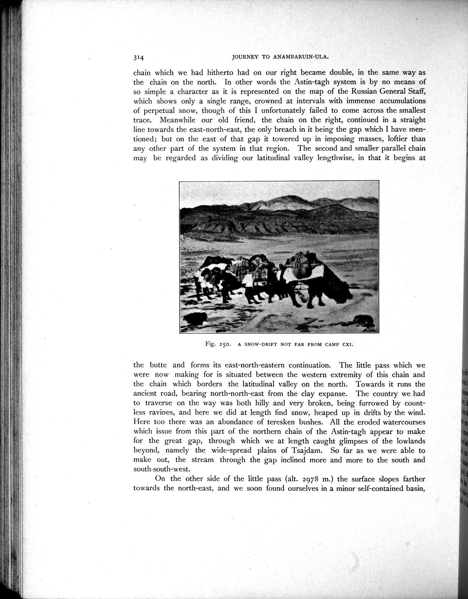
the butte and forms its east-north-eastern continuation. The little pass which we were now making for is situated between the western extremity of this chain and the chain which borders the latitudinal valley on the north. Towards it runs the ancient road, bearing north-north-east from the clay expanse. The country we had to traverse on the way was both hilly and very broken, being furrowed by countless ravines, and here we did at length find snow, heaped up in drifts by the wind. Here too there was an abundance of teresken bushes. All the eroded watercourses which issue from this part of the northern chain of the Astin-tagh appear to make for the great gap, through which we at length caught glimpses of the lowlands beyond, namely the wide-spread plains of Tsajdam. So far as we were able to make out, the stream through the gap inclined more and more to the south and south-south-west.
On the other side of the little pass (alt. 2978 m.) the surface slopes farther towards the north-east, and we soon found ourselves in a minor self-contained basin,
Fig. 250. A SNOW-DRIFT NOT FAR FROM CAMP CXI.
|
Copyright (C) 2003-2019
National Institute of Informatics(国立情報学研究所)
and
The Toyo Bunko(東洋文庫). All Rights Reserved.
本ウェブサイトに掲載するデジタル文化資源の無断転載は固くお断りいたします。