国立情報学研究所 - ディジタル・シルクロード・プロジェクト
| |||||||||
|
| Scientific Results of a Journey in Central Asia, 1899-1902 : vol.3 | |
| 1899-1902年の中央アジア旅行における科学的成果 : vol.3 |
 |
TRAVELLING SOUTH FROM THE ARKA-TAGH.
437
to as much as 8.9°. But quite early the following morning we had again the usual hard and tiring west wind, though the sky was at the same time clear.
The stage that we covered on the 26th June, still west-south-west down the same latitudinal valley, which had an imperceptible slope in the same direction, was every bit as monotonous as its predecessor. All this time we had the range of the Arka-tagh on the north, and the smaller parallel range on the south. The latter increases in size towards the west and at the same time bends west-south-west; there was some snow lying on its northern flank. But this range soon turned out to be an old acquaintance of the year before ; I recognised again the solitary pyramidal peak, by the eastern foot of which a year ago we had descended from the high Camp LX to the lake, and I also recognised again the sharp pyramidal peaks that rise to the west of it.
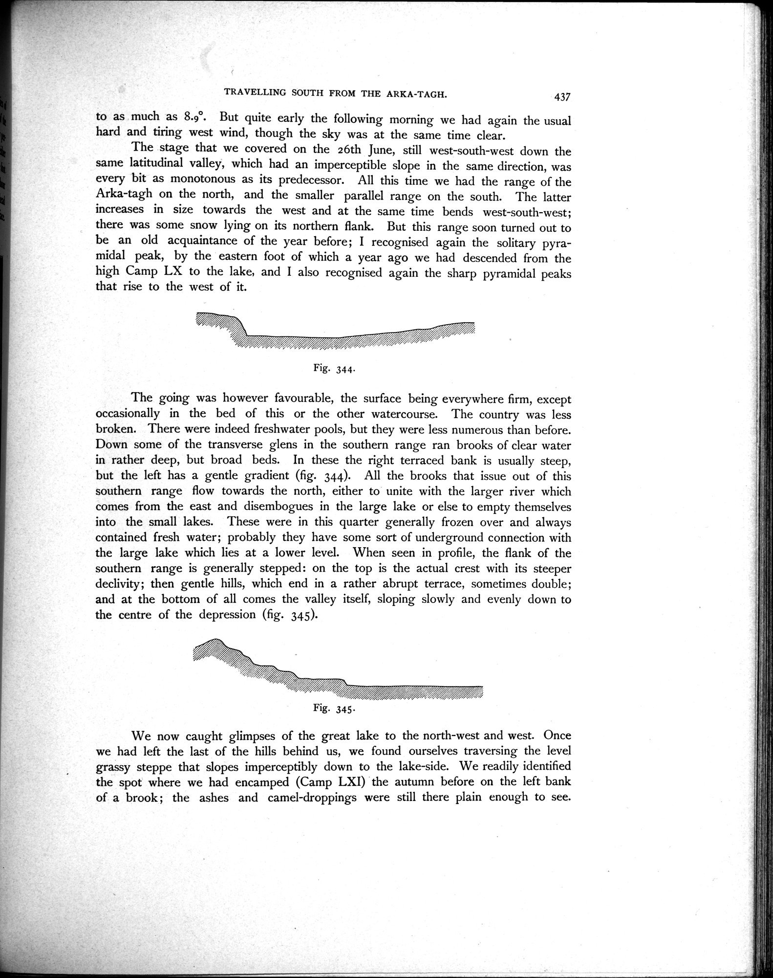
The going was however favourable, the surface being everywhere firm, except occasionally in the bed of this or the other watercourse. The country was less broken. There were indeed freshwater pools, but they were less numerous than before. Down some of the transverse glens in the southern range ran brooks of clear water in rather deep, but broad beds. In these the right terraced bank is usually steep, but the left has a gentle gradient (fig. 344). All the brooks that issue out of this southern range flow towards the north, either to unite with the larger river which comes from the east and disembogues in the large lake or else to empty themselves into the small lakes. These were in this quarter generally frozen over and always contained fresh water; probably they have some sort of underground connection with the large lake which lies at a lower level. When seen in profile, the flank of the southern range is generally stepped : on the top is the actual crest with its steeper declivity; then gentle hills, which end in a rather abrupt terrace, sometimes double; and at the bottom of all comes the valley itself, sloping slowly and evenly down to the centre of the depression (fig. 345).
Fig. 345.
We now caught glimpses of the great lake to the north-west and west. Once we had left the last of the hills behind us, we found ourselves traversing the level grassy steppe that slopes imperceptibly down to the lake-side. We readily identified the spot where we had encamped (Camp LXI) the autumn before on the left bank of a brook ; the ashes and camel-droppings were still there plain enough to see.
Fig. 344.
/~~~~~~~~,
|
Copyright (C) 2003-2019
National Institute of Informatics(国立情報学研究所)
and
The Toyo Bunko(東洋文庫). All Rights Reserved.
本ウェブサイトに掲載するデジタル文化資源の無断転載は固くお断りいたします。