国立情報学研究所 - ディジタル・シルクロード・プロジェクト
| |||||||||
|
| Scientific Results of a Journey in Central Asia, 1899-1902 : vol.3 | |
| 1899-1902年の中央アジア旅行における科学的成果 : vol.3 |
 |
UP THE TSCIiARKL1K-SU TU TIIE KUM-KOL.
39 I
i
f
mains are a few walls of sun-dried brick, together with a number of quite low ridges of stones arranged in squares and oblongs, showing how the former houses were grouped. This was clearly a former predecessor of Tscharklik, and to judge from the ruins that survive there must have been a pretty large number of houses. The cause of the existing town being removed eight kilometers lower down would seem to be changes in the course of the lower Tscharklik-su. A few kilometers farther south we find yet another kona-schahr, though it consists of nothing but heaps of yellow clay, amongst which the sun-dried bricks show distinctly here and there. This would appear to be a yet older forerunner of the old Tscharklik that I have just described. Its ruins lie on the left or western side of the artificially dug canal, the baschi or »head» of which is on the left bank of the Tscharklik-su. This canal does not however carry water to the little town itself, but to the steadings and hamlets that lie immediately west of it. Thus the lower Tscharklik-su flows between these two ariks; though at this season it contained only a very small quantity of water, for almost the whole of its volume was being led off in the canals.
Our route was east-south-east, following the Tscharklik-su, the bed of which we forded twice before definitively keeping to its left bank. The ground was somewhat broken, and consisted for the most part of coarse sand, perfectly barren. The ascent gradually grew steeper, and at the same time the river-bed became increasingly narrower as well as more deeply sunk. The atmosphere being exceptionally clear, the range of the Astin-tagh to the south was outlined with great sharpness and distinctness. It was pierced by two widely gaping glens. The one to the southeast really is a transverse glen, being that by which the Tscharklik-su makes its way out of the mountains. The other glen, to the south-west, is smaller and is known as the Kuruk-saj ; this was the goal of our second day's march.
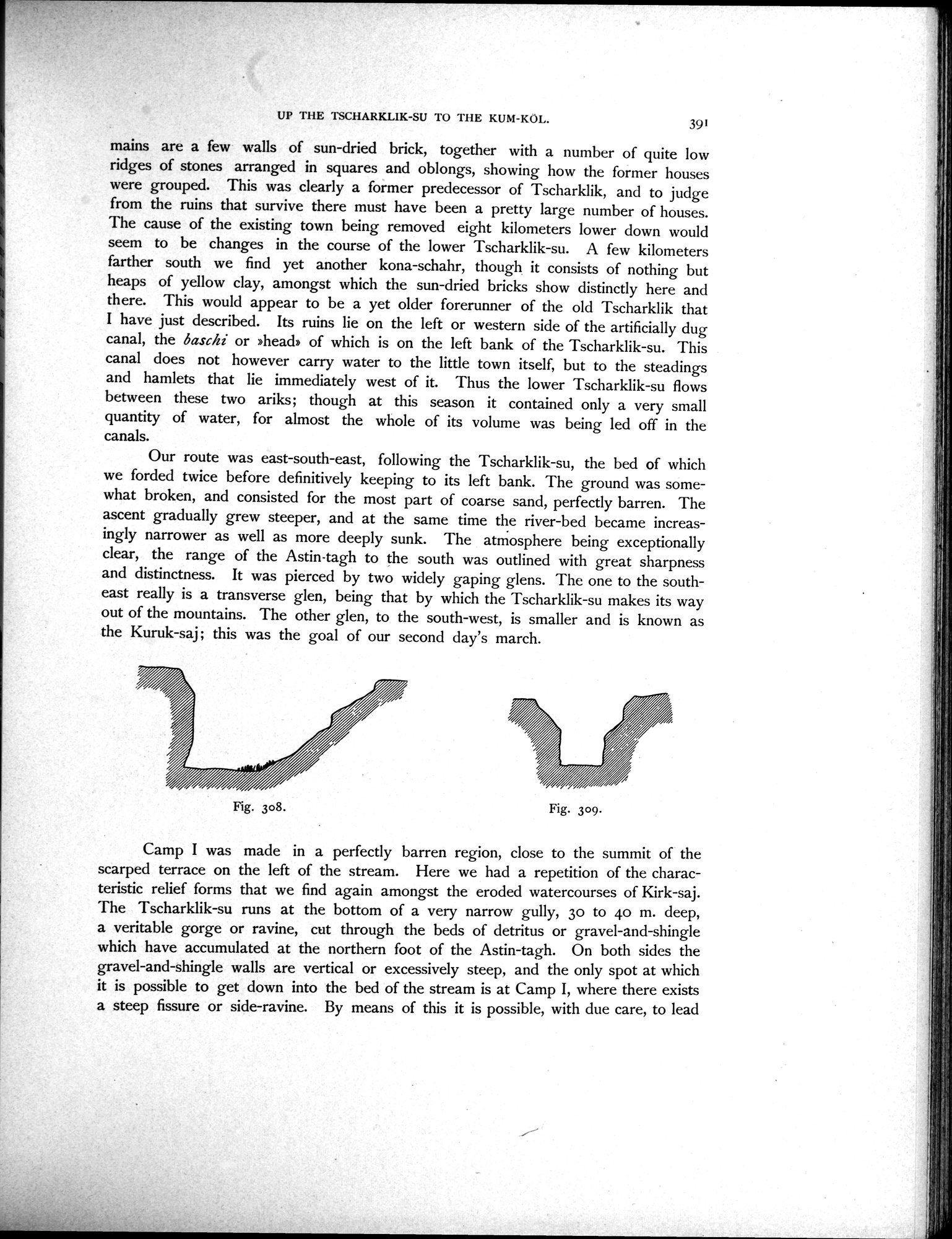
Fig. 308.
Fig. 309.
Camp I was made in a perfectly barren region, close to the summit of the scarped terrace on the left of the stream. Here we had a repetition of the characteristic relief forms that we find again amongst the eroded watercourses of Kirk-saj. The Tscharklik-su runs at the bottom of a very narrow gully, 3o to 40 m. deep, a veritable gorge or ravine, cut through the beds of detritus or gravel-and-shingle which have accumulated at the northern foot of the Astin-tagh. On both sides the gravel-and-shingle walls are vertical or excessively steep, and the only spot at which it is possible to get down into the bed of the stream is at Camp I, where there exists a steep fissure or side-ravine. By means of this it is possible, with due care, to lead
|
Copyright (C) 2003-2019
National Institute of Informatics(国立情報学研究所)
and
The Toyo Bunko(東洋文庫). All Rights Reserved.
本ウェブサイトに掲載するデジタル文化資源の無断転載は固くお断りいたします。