国立情報学研究所 - ディジタル・シルクロード・プロジェクト
| |||||||||
|
| Scientific Results of a Journey in Central Asia, 1899-1902 : vol.3 | |
| 1899-1902年の中央アジア旅行における科学的成果 : vol.3 |
 |
50 DIY FIRST JOURNEY IN NORTH-EASTERN TIBET.
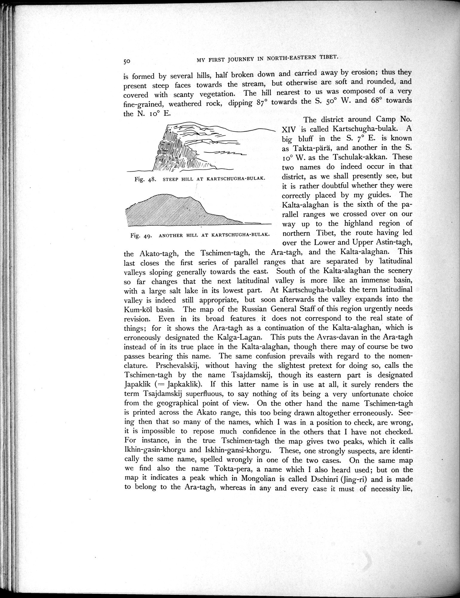
is formed by several hills, half broken down and carried away by erosion; thus they present steep faces towards the stream, but otherwise are soft and rounded, and covered with scanty vegetation. The hill nearest to us was composed of a very fine-grained, weathered rock, dipping 87° towards the S. 50° W. and 68° towards
the N. I o° E.
TI
/// ~
I —~~—~
/~~
11/00pIdikilb,,,, •
`~`L
Fig. 48. STEEP HILL AT KARTSCHUGHA-BULAK.
Fig. 49. ANOTHER HILL AT KARTSCHUGHA-BULAK.
The district around Camp No. XIV is called Kartschugha-bulak. A big bluff in the S. 7° E. is known as Takta-pärä, and another in the S. 1o° W. as the Tschulak-akkan. These two names do indeed occur in that district, as we shall presently see, but it is rather doubtful whether they were correctly placed by my guides. The Kalta-alaghan is the sixth of the parallel ranges we crossed over on our way up to the highland region of northern Tibet, the route having led over the Lower and Upper Astin-tagh,
the Akato-tagh, the Tschimen-tagh, the Ara-tagh, and the Kalta-alaghan. This last closes the first series of parallel ranges that are separated by latitudinal valleys sloping generally towards the east. South of the Kalta-alaghan the scenery so far changes that the next latitudinal valley is more like an immense basin, with a large salt lake in its lowest part. At Kartschugha-bulak the term latitudinal valley is indeed still appropriate, but soon afterwards the valley expands into the Kum-köl basin. The map of the Russian General Staff of this region urgently needs revision. Even in its broad features it does not correspond to the real state of things; for it shows the Ara-tagh as a continuation of the Kalta-alaghan, which is erroneously designated the Kalga-Lagan. This puts the Avras-davan in the Ara-tagh instead of in its true place in the Kalta-alaghan, though there may of course be two passes bearing this name. The same confusion prevails with regard to the nomenclature. Prschevalskij, without having the slightest pretext for doing so, calls the Tschimen-tagh by the name Tsajdamskij, though its eastern part is designated Japaklik (= Japkaklik). If this latter name is in use at all, it surely renders the term Tsajdamskij superfluous, to say nothing of its being a very unfortunate choice from the geographical point of view. On the other hand the name Tschimen-tagh is printed across the Akato range, this too being drawn altogether erroneously. Seeing then that so many of the names, which I was in a position to check, are wrong, it is impossible to repose much confidence in the others that I have not checked. For instance, in the true Tschimen-tagh the map gives two peaks, which it calls Ikhin-Basin-khorgu and Iskhin-gansi-khorgu. These, one strongly suspects, are identically the same name, spelled wrongly in one of the two cases. On the same map we find also the name Tokta-pera, a name which I also heard used ; but on the map it indicates a peak which in Mongolian is called Dschinri (Jing-ri) and is made to belong to the Ara-tagh, whereas in any and every case it must of necessity lie,
|
Copyright (C) 2003-2019
National Institute of Informatics(国立情報学研究所)
and
The Toyo Bunko(東洋文庫). All Rights Reserved.
本ウェブサイトに掲載するデジタル文化資源の無断転載は固くお断りいたします。