国立情報学研究所 - ディジタル・シルクロード・プロジェクト
| |||||||||
|
| Scientific Results of a Journey in Central Asia, 1899-1902 : vol.3 | |
| 1899-1902年の中央アジア旅行における科学的成果 : vol.3 |
 |
358 JOURNEY TO ANAMBARUIN-ULA.
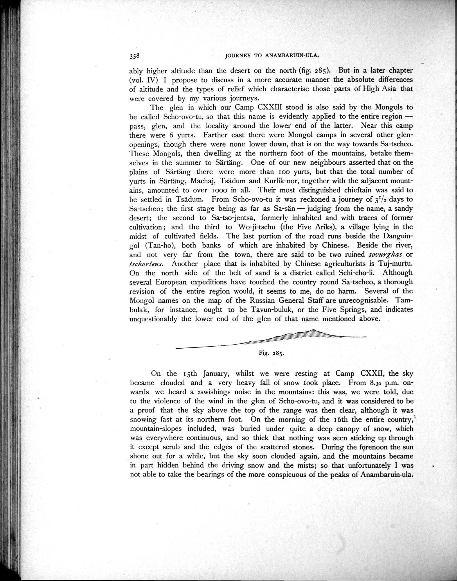
ably higher altitude than the desert on the north (fig. 285). But in a later chapter (vol. IV) I propose to discuss in a more accurate manner the absolute differences of altitude and the types of relief which characterise those parts of High Asia that were covered by my various journeys.
The glen in which our Camp CXXIII stood is also said by the Mongols to be called Scho-ovo-tu, so that this name is evidently applied to the entire region — pass, glen, and the locality around the lower end of the latter. Near this camp there were 6 yurts. Farther east there were Mongol camps in several other glen-openings, though there were none lower down, that is on the way towards Sa-tscheo. These Mongols, then dwelling at the northern foot of the mountains, betake themselves in the summer to Särtäng. One of our new neighbours asserted that on the plains of Särtäng there were more than too yurts, but that the total number of yurts in Särtäng, Machaj, Tsädum and Kurlik-nor, together with the adjacent mountains, amounted to over woo in all. Their most distinguished chieftain was said to be settled in Tsädum. From Scho-ovo-tu it was reckoned a journey of 31/2 days to Sa-tscheo the first stage being as far as Sa-sän — judging from the name, a sandy desert; the second to Sa-tso-jentsa, formerly inhabited and with traces of former cultivation ; and the third to Wo-ji-tschu (the Five Ariks), a village lying in the midst of cultivated fields. The last portion of the road runs beside the Danguingol (Tan-ho), both banks of which are inhabited by Chinese. Beside the river, and not very far from the town, there are said to be two ruined sovurghas or tsclaortens. Another place that is inhabited by Chinese agriculturists is Tuj-murtu. On the north side of the belt of sand is a district called Schi-cho-li. Although several European expeditions have touched the country round Sa-tscheo, a thorough revision of the entire region would, it seems to me, do no harm. Several of the Mongol names on the map of the Russian General Staff are unrecognisable. Tambulak, for instance, ought to be Tavun-buluk, or the Five Springs, and indicates unquestionably the lower end of the glen of that name mentioned above.
Fig. 285.
On the I 5th January, whilst we were resting at Camp CXXII, the sky became clouded and a very heavy fall of snow took place. From 8.30 p.m. onwards we heard a »swishing» noise in the mountains: this was, we were told, due to the violence of the wind in the glen of Scho-ovo-tu, and it was considered to be a proof that the sky above the top of the range was then clear, although it was snowing fast at its northern foot. On the morning of the 16th the entire country, mountain-slopes included, was buried under quite a deep canopy of snow, which was everywhere continuous, and so thick that nothing was seen sticking up through it except scrub and the edges of the scattered stones. During the forenoon the sun shone out for a while, but the sky soon clouded again, and the mountains became in part hidden behind the driving snow and the mists; so that unfortunately I was not able to take the bearings of the more conspicuous of the peaks of Anambaruin-ula.
|
Copyright (C) 2003-2019
National Institute of Informatics(国立情報学研究所)
and
The Toyo Bunko(東洋文庫). All Rights Reserved.
本ウェブサイトに掲載するデジタル文化資源の無断転載は固くお断りいたします。