国立情報学研究所 - ディジタル・シルクロード・プロジェクト
| |||||||||
|
| Scientific Results of a Journey in Central Asia, 1899-1902 : vol.3 | |
| 1899-1902年の中央アジア旅行における科学的成果 : vol.3 |
 |
544 MY JOURNEY ALONG THE ARKA-TAGH IN 1896.
and sends down several side-glens. There was here barely i cub.m. in the stream in the principal glen. Penetrating up a glen that came down from the south-east, we again approached a water-divide. On the whole we found here the same orographical architecture as farther east, namely a system of latitudinal valleys every one of .which contains several thresholds acting as water-divides, from which the streams flow principally east and west, until they enter some larger transverse glen that carries them through the northern ranges. The only difference is that, in the western part of the highlands between the Astin-tagh and the Arka-tagh, all these streams, equally whether they go to join the Kara-muran or the Tschertschen-darja, eventually find their way down into the East Turkestan lowlands; while farther east they flow some to the Atschik-köl and some to the Kum-köl, and consequently still remain within the real domain of the highlands. Camp VII was pitched in the extreme upper end of a little transverse glen at the considerable altitude of 5291 m. The pass itself, which we had shortly before crossed over, had an altitude of 5 302 m. What forced us to stop in that inhospitable and unpropitious region was a furious hail-storm. South and south-west rose in insuperable chaos the culminating summit of the Arka-tagh, crowned with snow-fields. Nevertheless even in these lofty regions soft disintegrated material is predominant, and hard rock is found only on the summits of the ranges or at their bases, where erosion has exposed it.
The next day we proceeded east along a latitudinal valley, which runs in line with and forms the continuation of the preceding latitudinal valley; it too is inclosed between vast mountain-ranges, but itself inclines towards the east. From the south it is joined by a series of side-glens, all of which then carried a little water. By this means the river that courses down the main valley gradually swelled into a pretty considerable stream. Indeed it may be taken as the rule in these mountains, that virtually all the tributary streams flow down from the south; on the other hand from the ranges which border the latitudinal valleys on the north but little or no water descends. Further, it may be observed that the range on the northern side of each latitudinal valley has a steep slope towards the south, and that the eroded watercourse which drains the valley clings closely to its foot. On the other hand the northern slope of the southern range has a gentle fall ; in the matter of altitude these southern ranges are always the highest. All this is quite true with regard to the valley down which we were then marching.
~
___
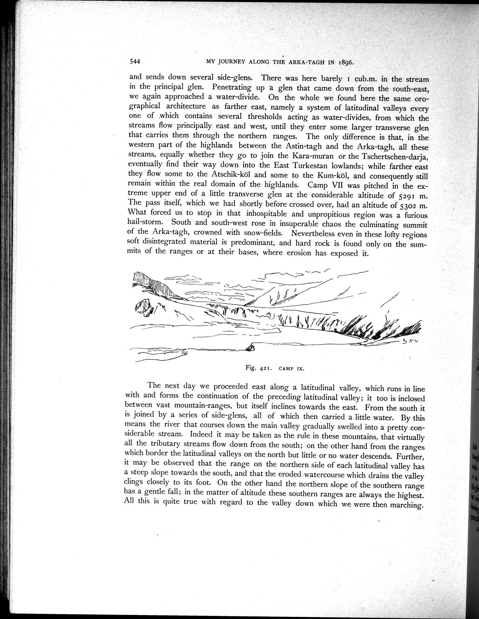
Fig. 421. CAMP IX.
|
Copyright (C) 2003-2019
National Institute of Informatics(国立情報学研究所)
and
The Toyo Bunko(東洋文庫). All Rights Reserved.
本ウェブサイトに掲載するデジタル文化資源の無断転載は固くお断りいたします。