国立情報学研究所 - ディジタル・シルクロード・プロジェクト
| |||||||||
|
| Scientific Results of a Journey in Central Asia, 1899-1902 : vol.3 | |
| 1899-1902年の中央アジア旅行における科学的成果 : vol.3 |
 |
26
MY FIRST JOURNEY IN NORTH-EASTERN TIBET.
îi1
,--s,
..:
.,,
~~~~~
~iz ,
, ~~
„~`
f
/.~ ~ •
~•~, 5. Hn
"~
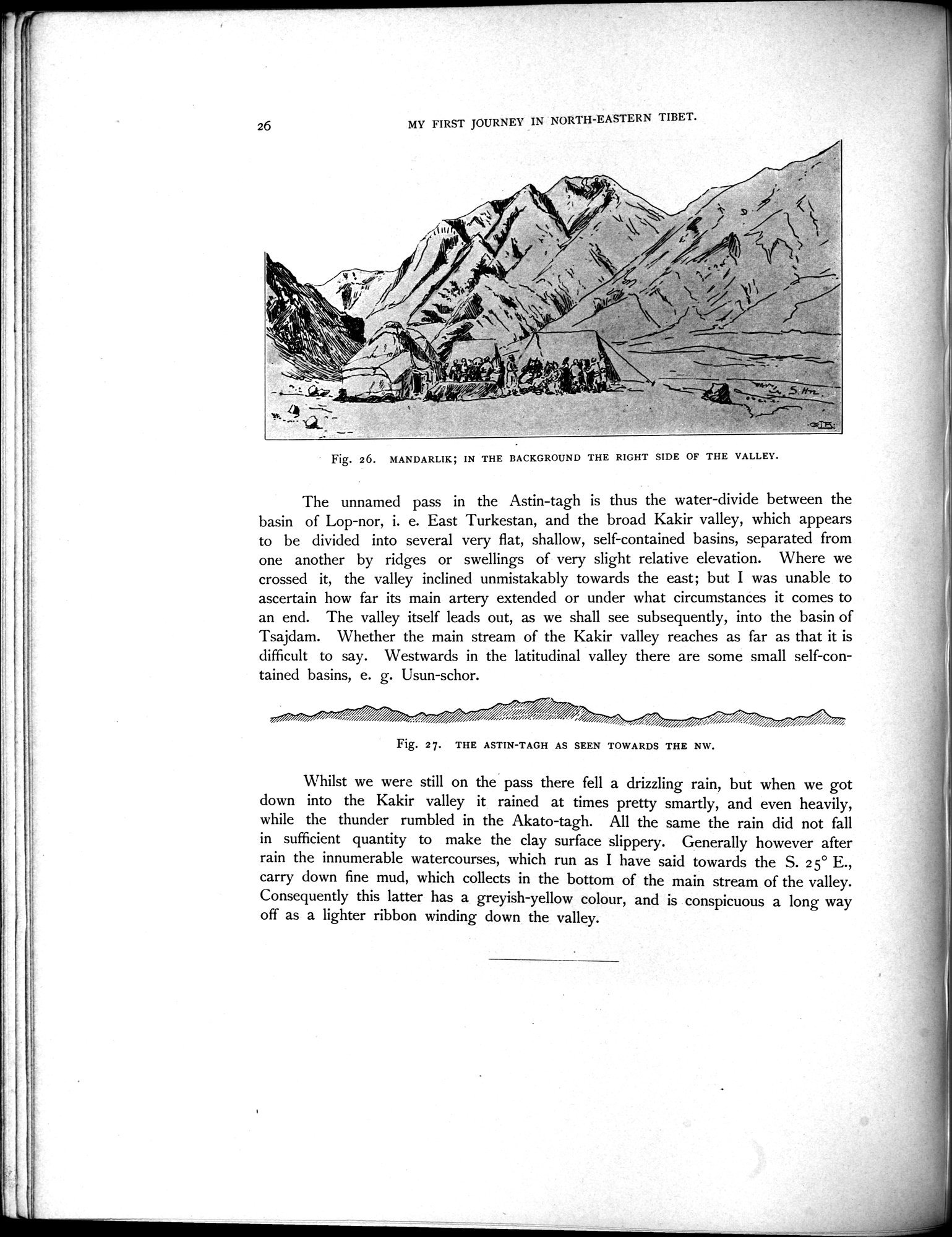
Fig. 26. MANDARLIK; IN THE BACKGROUND THE RIGHT SIDE OF THE VALLEY.
The unnamed pass in the Astin-tagh is thus the water-divide between the basin of Lop-nor, i. e. East Turkestan, and the broad Kakir valley, which appears to be divided into several very flat, shallow, self-contained basins, separated from one another by ridges or swellings of very slight relative elevation. Where we crossed it, the valley inclined unmistakably towards the east; but I was unable to ascertain how far its main artery extended or under what circumstances it comes to an end. The valley itself leads out, as we shall see subsequently, into the basin of Tsajdam. Whether the main stream of the Kakir valley reaches as far as that it is difficult to say. Westwards in the latitudinal valley there are some small self-contained basins, e. g. Usun-schor.
Fig. 27. THE ASTIN-TAGH AS SEEN TOWARDS THE NW.
Whilst we were still on the pass there fell a drizzling rain, but when we got down into the Kakir valley it rained at times pretty smartly, and even heavily, while the thunder rumbled in the Akato-tagh. All the same the rain did not fall in sufficient quantity to make the clay surface slippery. Generally however after rain the innumerable watercourses, which run as I have said towards the S. 2 5° E., carry down fine mud, which collects in the bottom of the main stream of the valley. Consequently this latter has a greyish-yellow colour, and is conspicuous a long way off as a lighter ribbon winding down the valley.
|
Copyright (C) 2003-2019
National Institute of Informatics(国立情報学研究所)
and
The Toyo Bunko(東洋文庫). All Rights Reserved.
本ウェブサイトに掲載するデジタル文化資源の無断転載は固くお断りいたします。