国立情報学研究所 - ディジタル・シルクロード・プロジェクト
| |||||||||
|
| Scientific Results of a Journey in Central Asia, 1899-1902 : vol.3 | |
| 1899-1902年の中央アジア旅行における科学的成果 : vol.3 |
 |
272 JOURNEY TO ANAMBARUIN-ULA.
From the point where I crossed over the Komutluk in the summer the extreme western end of the lake was said to be about 8 km. to the north-north-east. Bel is 5 km. distant, and from Tschigelik the distance to the little eastern lake is said to be shorter than that to the large lake. The distance to the latter was determined in the following original , way: A man could travel on foot to the east end of Ghas-köl, there shoot a kulan and flay it, and then return on foot to Tschigelik, all in one day, without being overtaken by darkness. The Tschigelik-su, which seems to be a spring-fed brook, and the Samsak-ajding both enter the little eastern lake from the south. The brook of Boghan-otak is stated not to reach the Ghas-köl; but fresh springs gush out below it, forming another brook that enters the lake. The brook of Komutluk discharges a little east of the brook of Ajiklik, and a ravine proceeds
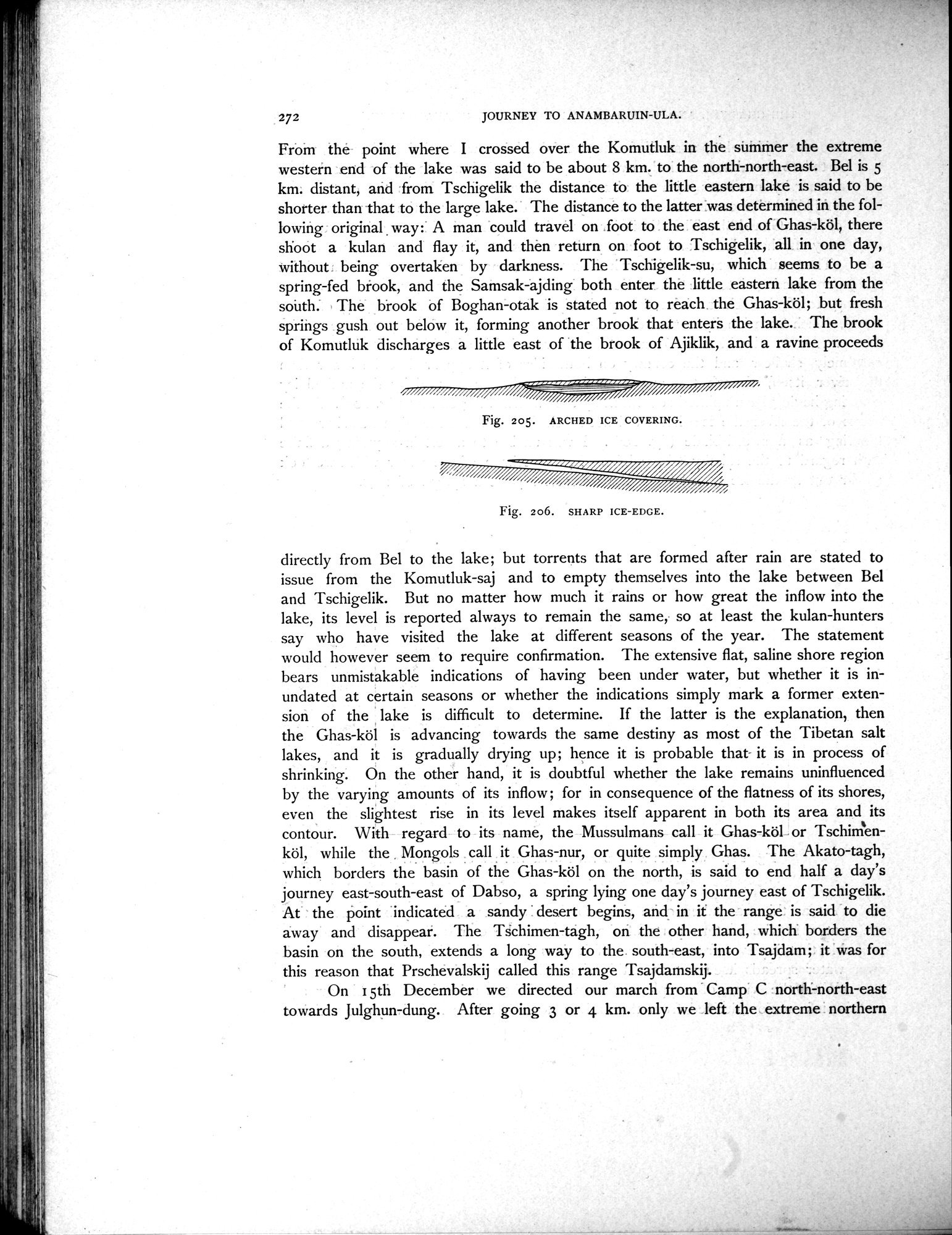
Fig. 205. ARCHED ICE COVERING.
Fig. 206. SHARP ICE-EDGE.
directly from Bel to the lake; but torrents that are formed after rain are stated to issue from the Komutluk-saj and to empty themselves into the lake between Bel and Tschigelik. But no matter how much it rains or how great the inflow into the lake, its level is reported always to remain the same, so at least the kulan-hunters say who have visited the lake at different seasons of the year. The statement would however seem to require confirmation. The extensive flat, saline shore region bears unmistakable indications of having been under water, but whether it is inundated at certain seasons or whether the indications simply mark a former extension of the lake is difficult to determine. If the latter is the explanation, then the Ghas-köl is advancing towards the same destiny as most of the Tibetan salt lakes, and it is gradually drying up; hence it is probable that it is in process of shrinking. On the other hand, it is doubtful whether the lake remains uninfluenced by the varying amounts of its inflow ; for in consequence of the flatness of its shores, even the slightest rise in its level makes itself apparent in both its area and its contour. With regard to its name, the Mussulmans call it Ghas-köl or Tschimenköl, while the Mongols call it Ghas-nur, or quite simply Ghas. The Akato-tagh, which borders the basin of the Ghas-köl on the north, is said to end half a day's journey east-south-east of Dabso, a spring lying one day's journey east of Tschigelik. At the point indicated a sandy desert begins, and in it the range is said to die away and disappear. The Tschimen-tagh, on the other hand, which borders the basin on the south, extends a long way to the south-east, into Tsajdam; it was for this reason that Prschevalskij called this range Tsajdamskij.
On I 5th December we directed our march from Camp C north-north-east towards Julghun-dung. After going 3 or 4 km. only we left the extreme northern
|
Copyright (C) 2003-2019
National Institute of Informatics(国立情報学研究所)
and
The Toyo Bunko(東洋文庫). All Rights Reserved.
本ウェブサイトに掲載するデジタル文化資源の無断転載は固くお断りいたします。