国立情報学研究所 - ディジタル・シルクロード・プロジェクト
| |||||||||
|
| Scientific Results of a Journey in Central Asia, 1899-1902 : vol.3 | |
| 1899-1902年の中央アジア旅行における科学的成果 : vol.3 |
 |
•
382 JOURNEY TO ANAMBARUIN-ULA.
preceding day we had rather increased the distance between ourselves and the foot of the mountains, we now gradually approached them again. The country was on the whole favourable, and ascended gently towards a small threshold, from which we again went downwards to Kan-ambal. We crossed over a great number of small watercourses, none very deep, and all running towards the north-west. The first of them, Sa-go, was in fact so shallow that it seemed as if it would soon die away in the gravel. The second, Go-tsche, is still more insignificant. Here a little grass began to make its appearance in the shelter of the scrub. We approached the mountains again at a glen-opening called Tsching-ba-dse, or in Mongolian Kököbore. From this point, Dunde-halga or the upper (properly the middle) of the routes which I have alluded to above comes out to the N. 58° E. We then kept for a space
close to the foot of the mountains, which here consisted of beautifully rounded, snow-clad summits. On our right we had a series of detached hills: we appeared to be marching along a latitudinal valley or hollow between the lower slopes of the mountains, resembling those which we imagine to be followed by the upper road. In the shallow bed of the Tsching-to there was an ice-sheet. This channel runs down towards the N. 20° W., and is bordered on the left by a stretch of hills. We had still a great number of smaller gullies to cross over before we struck down into the broad and great valley of Mo-baruin-gol (also called Mo-bäruin-gol or Mo-bars), the upper part of which we had seen on our outward journey just where it cuts through the main range of the Anambaruin-ula. As far down as where we then were it contained a tiny flowing rivulet, while water came trickling out of the springs in the face of the scarped terrace on the left. At the head of the transverse glen the altitude was 3585 m., but down where we then were only 2991 m.
•
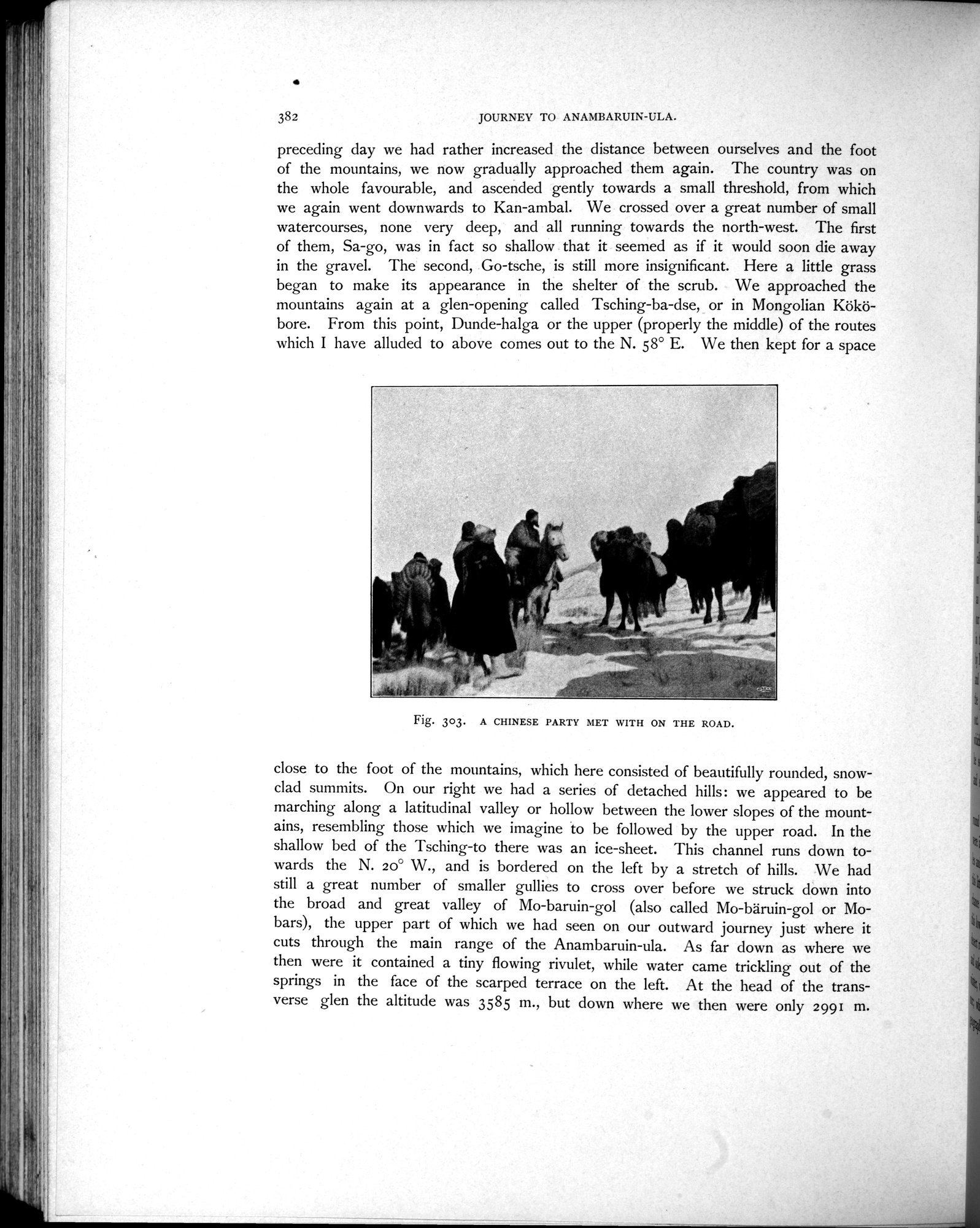
Fig. 303. A CHINESE PARTY MET WITH ON THE ROAD.
|
Copyright (C) 2003-2019
National Institute of Informatics(国立情報学研究所)
and
The Toyo Bunko(東洋文庫). All Rights Reserved.
本ウェブサイトに掲載するデジタル文化資源の無断転載は固くお断りいたします。