国立情報学研究所 - ディジタル・シルクロード・プロジェクト
| |||||||||
|
| Scientific Results of a Journey in Central Asia, 1899-1902 : vol.3 | |
| 1899-1902年の中央アジア旅行における科学的成果 : vol.3 |
 |
THE AJAGH-KUM-KOL AND THENCE TO PASCHALIK-SAJ. 223
from the northern shore the depth amounted to 3 m. The greatest depth along this line occurred almost in the very middle of the lake, and it amounted exactly to 19.63 m.
The southern shore-line is pretty straight, without bays or peninsulas, and is composed of coarse sand. On the other hand the lake-bottom appeared to consist of fine mud; at least I infer this from the lead getting fast in it and having to be pulled out with a jerk. The Kum-köl-darja does indeed issue clear out of the upper lake; but the distance between the two lakes is so great that the river picks up on the way a great quantity of solid matter from its bed and its banks, and in addition it is also joined, as we have already seen, by at least one large tributary from the Arka-tagh on the south. Anyway during the summer it brings down with it a large quantity of sediment, which is deposited in the eastern part of the Lower Kum-köl. I have no doubt it was fine river-mud of this character in which the lead sucked itself fast.
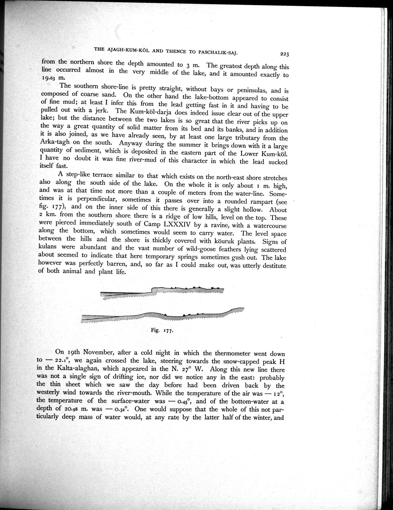
A step-like terrace similar to that which exists on the north-east shore stretches also along the south side of the lake. On the whole it is only about 1 m. high, and was at that time not more than a couple of meters from the water-line. Sometimes it is perpendicular, sometimes it passes over into a rounded rampart (see fig. 17 7), and on the inner side of this there is generally a slight hollow. About 2 km. from the southern shore there is a ridge of low hills, level on the top. These were pierced immediately south of Camp LXXXIV by a ravine, with a watercourse along the bottom, which sometimes would seem to carry water. The level space between the hills and the shore is thickly covered with köuruk plants. Signs of kulans were abundant and the vast number of wild-goose feathers lying scattered about seemed to indicate that here temporary springs sometimes gush out. The lake however was perfectly barren, and, so far as I could make out, was utterly destitute of both animal and plant life.
ii
On I 9th November, after a cold night in which the thermometer went down to — 2 2.°, we again crossed the lake, steering towards the snow-capped peak H in the Kalta-alaghan, which appeared in the N. 2 7° W. Along this new line there was not a single sign of drifting ice, nor did we notice any in the east: probably the thin sheet which we saw the day before had been driven back by the westerly wind towards the river-mouth. While the temperature of the air was — 1 2°, the temperature of the surface-water was — 0.45°, and of the bottom-water at a depth of 20.98 m. was — 0.32°. One would suppose that the whole of this not particularly deep mass of water would, at any rate by the latter half of the winter, and
Fig. 177.
|
Copyright (C) 2003-2019
National Institute of Informatics(国立情報学研究所)
and
The Toyo Bunko(東洋文庫). All Rights Reserved.
本ウェブサイトに掲載するデジタル文化資源の無断転載は固くお断りいたします。