国立情報学研究所 - ディジタル・シルクロード・プロジェクト
| |||||||||
|
| Scientific Results of a Journey in Central Asia, 1899-1902 : vol.3 | |
| 1899-1902年の中央アジア旅行における科学的成果 : vol.3 |
 |
FROM THE KUM-KÖL OVER THE ARKA-TAGIH. 42I
eroded terrace of the glen at an acute angle, and travelled along it for a space, going south. Finally we encamped (XV) on the edge of almost a precipice overhanging the glen at an altitude of 4146 m. It was dangerous to approach the edge, for not only was it gapped with gullies, it was also hollowed by smaller streams from the eastern fork of the range. In the bottom of the glen was a not inconsiderable volume of flowing water, with here and there an extensive patch of ice, which despite the advanced season had not yet melted.
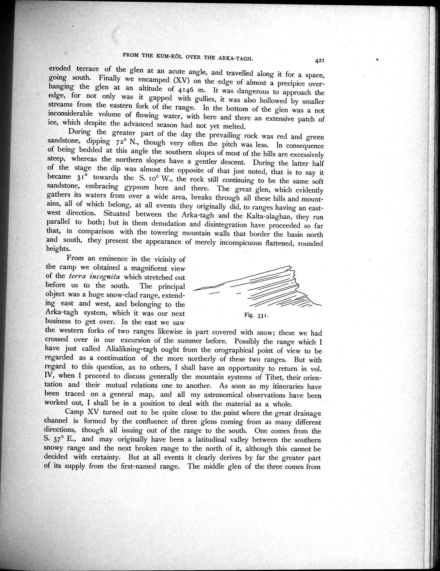
During the greater part of the day the prevailing rock was red and green sandstone, dipping 72° N., though very often the pitch was less. In consequence of being bedded at this angle the southern slopes of most of the hills are excessively steep, whereas the northern slopes have a gentler descent. During the latter half of the stage the dip was almost the opposite of that just noted, that is to say it became 31° towards the S. 1o° W., the rock still continuing to be the same soft sandstone, embracing gypsum here and there. The great glen, which evidently gathers its waters from over a wide area, breaks through all these hills and mountains, all of which belong, at all events they originally did, to ranges having an east-west direction. Situated between the Arka-tagh and the Kalta-alaghan, they run parallel to both; but in them denudation and disintegration have proceeded so far that, in comparison with the towering mountain walls that border the basin north and south, they present the appearance of merely inconspicuous flattened, rounded
heights.
before us to the south. The principal
i
object was a huge snow-clad range, extending east and west, and belonging to the Arka-tagh system, which it was our next business to get over. In the east we saw
the western forks of two ranges likewise in part covered with snow; these we had crossed over in our excursion of the summer before. Possibly the range which I have just called Alialikning-tagh ought from the orographical point of view to be regarded as a continuation of the more northerly of these two ranges. But with regard to this question, as to others, I shall have an opportunity to return in vol. IV, when I proceed to discuss generally the mountain systems of Tibet, their orientation and their mutual relations one to another. As soon as my itineraries have been traced on a general map, and all my astronomical observations have been worked out, I shall be in a position to deal with the material as a whole.
Camp XV turned out to be quite close to the point where the great drainage channel is formed by the confluence of three glens coming from as many different directions, though all issuing out of the range to the south. One comes from the S. 37° E., and may originally have been a latitudinal valley between the southern snowy range and the next broken range to the north of it, although this cannot be decided with certainty. But at all events it clearly derives by far the greater part of its supply from the first-named range. The middle glen of the three comes from
Fig. 33 r .
From an eminence in the vicinity of the camp we obtained a magnificent view
of the terra incognita which stretched out
|
Copyright (C) 2003-2019
National Institute of Informatics(国立情報学研究所)
and
The Toyo Bunko(東洋文庫). All Rights Reserved.
本ウェブサイトに掲載するデジタル文化資源の無断転載は固くお断りいたします。