国立情報学研究所 - ディジタル・シルクロード・プロジェクト
| |||||||||
|
| Scientific Results of a Journey in Central Asia, 1899-1902 : vol.3 | |
| 1899-1902年の中央アジア旅行における科学的成果 : vol.3 |
 |
OVER THE AKATO-TAGH AND THE TSCIIIMEN-TAGH.
43
cession. From one of the passes, had it not been for the universal prevalence of the black clouds, we should have been able to see the flat, dome-shaped summits of the Akato-tagh to the north, bathed in bright sunshine; for whilst the snow was accumulating in heaps on the Tschimen-tagh, the full heat of summer was being experienced in the adjacent Akato-tagh. The fauna remained the same, the skulls of arkharis and wild yaks being frequently met with.
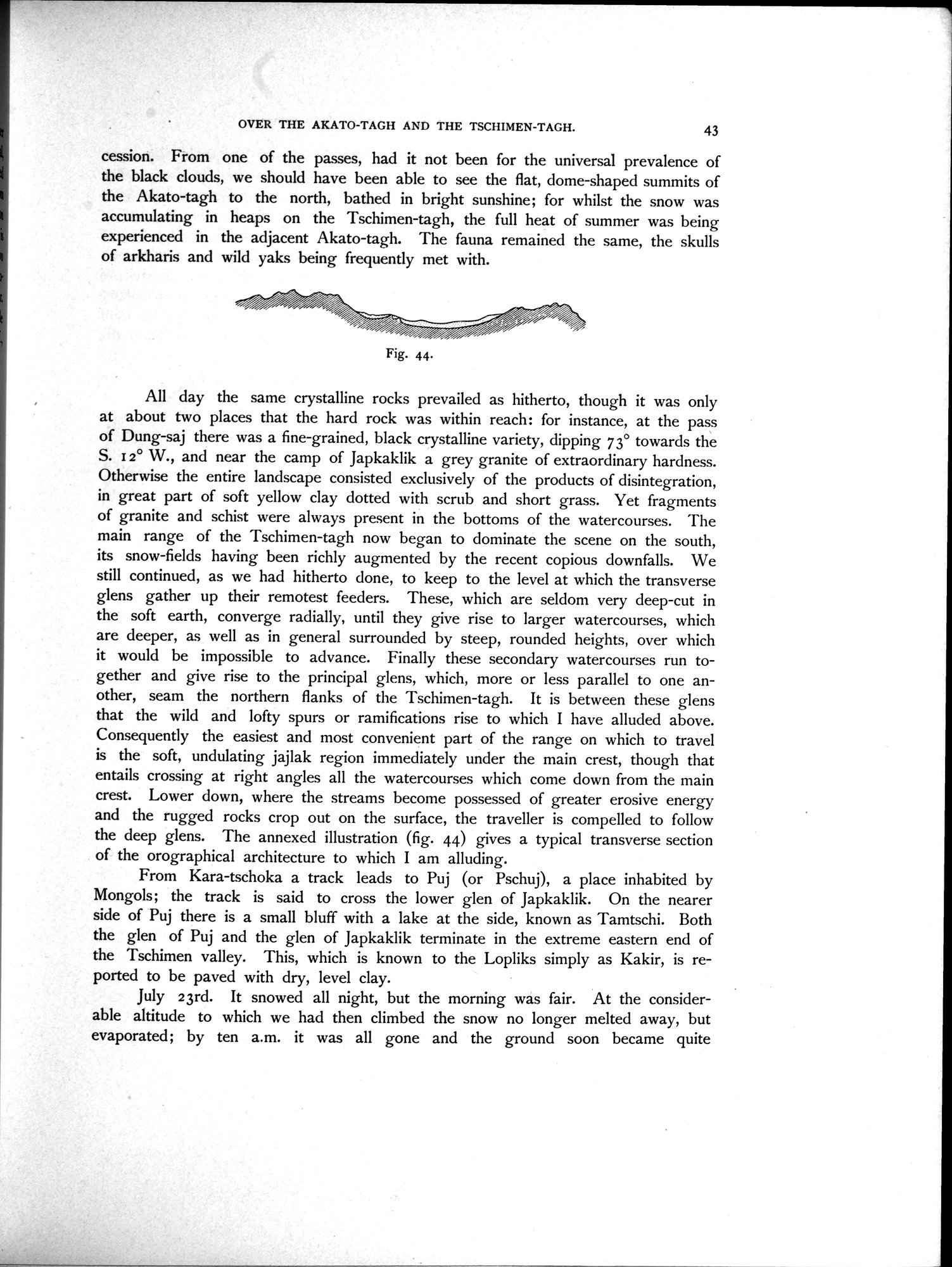
Fig. 44.
All day the same crystalline rocks prevailed as hitherto, though it was only at about two places that the hard rock was within reach: for instance, at the pass of Dung-saj there was a fine-grained, black crystalline variety, dipping 73° towards the S. i 2° W., and near the camp of Japkaklik a grey granite of extraordinary hardness. Otherwise the entire landscape consisted exclusively of the products of disintegration, in great part of soft yellow clay dotted with scrub and short grass. Yet fragments of granite and schist were always present in the bottoms of the watercourses. The main range of the Tschimen-tagh now began to dominate the scene on the south, its snow-fields having been richly augmented by the recent copious downfalls. We still continued, as we had hitherto done, to keep to the level at which the transverse glens gather up their remotest feeders. These, which are seldom very deep-cut in the soft earth, converge radially, until they give rise to larger watercourses, which are deeper, as well as in general surrounded by steep, rounded heights, over which it would be impossible to advance. Finally these secondary watercourses run together and give rise to the principal glens, which, more or less parallel to one another, seam the northern flanks of the Tschimen-tagh. It is between these glens that the wild and lofty spurs or ramifications rise to which I have alluded above. Consequently the easiest and most convenient part of the range on which to travel is the soft, undulating jajlak region immediately under the main crest, though that entails crossing at right angles all the watercourses which come down from the main crest. Lower down, where the streams become possessed of greater erosive energy and the rugged rocks crop out on the surface, the traveller is compelled to follow the deep glens. The annexed illustration (fig. 44) gives a typical transverse section of the orographical architecture to which I am alluding.
From Kara-tschoka a track leads to Puj (or Pschuj), a place inhabited by Mongols; the track is said to cross the lower glen of Japkaklik. On the nearer side of Puj there is a small bluff with a lake at the side, known as Tamtschi. Both the glen of Puj and the glen of Japkaklik terminate in the extreme eastern end of the Tschimen valley. This, which is known to the Lopliks simply as Kakir, is reported to be paved with dry, level clay.
July 23rd. It snowed all night, but the morning was fair. At the considerable altitude to which we had then climbed the snow no longer melted away, but evaporated; by ten a.m. it was all gone and the ground soon became quite
|
Copyright (C) 2003-2019
National Institute of Informatics(国立情報学研究所)
and
The Toyo Bunko(東洋文庫). All Rights Reserved.
本ウェブサイトに掲載するデジタル文化資源の無断転載は固くお断りいたします。