国立情報学研究所 - ディジタル・シルクロード・プロジェクト
| |||||||||
|
| Scientific Results of a Journey in Central Asia, 1899-1902 : vol.3 | |
| 1899-1902年の中央アジア旅行における科学的成果 : vol.3 |
 |
UP THE TSCHARKLIK-SU TO THE KUM-KOL.
393
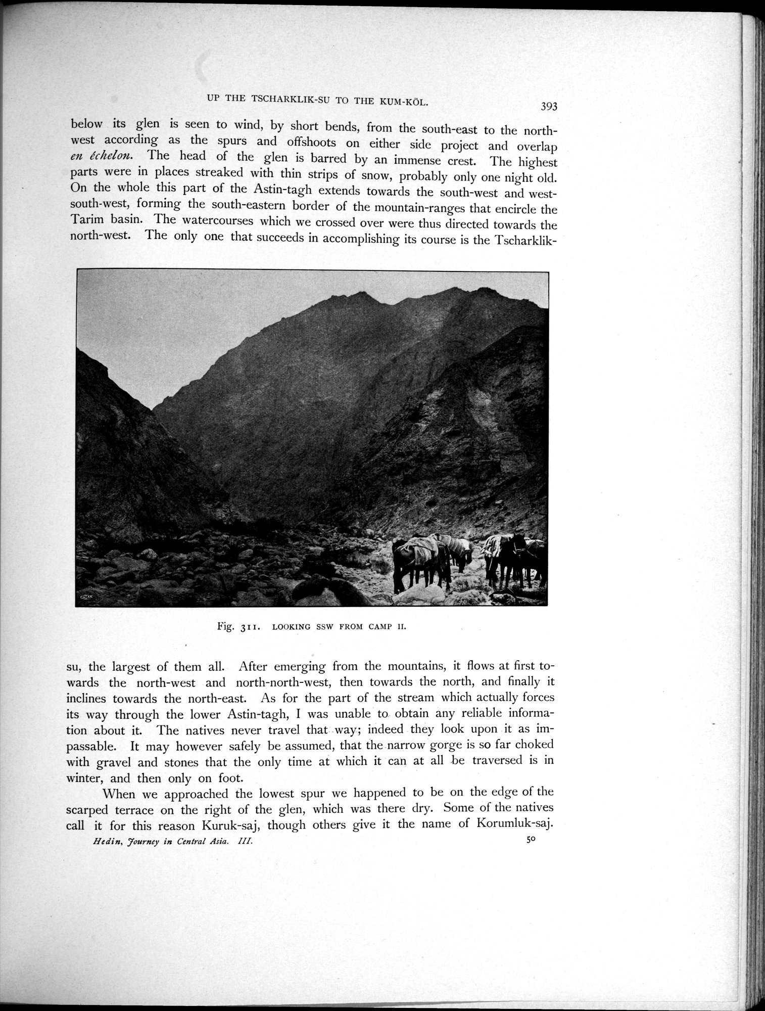
below its glen is seen to wind, by short bends, from the south-east to the northwest according as the spurs and offshoots on either side project and overlap en échelon. The head of the glen is barred by an immense crest. The highest parts were in places streaked with thin strips of snow, probably only one night old. On the whole this part of the Astin-tagh extends towards the south-west and west-south-west, forming the south-eastern border of the mountain-ranges that encircle the Tarim basin. The watercourses which we crossed over were thus directed towards the north-west. The only one that succeeds in accomplishing its course is the Tscharklik-
Fig. 311. LOOKING SSW FROM CAMP II.
su, the largest of them all. After emerging from the mountains, it flows at first towards the north-west and north-north-west, then towards the north, and finally it inclines towards the north-east. As for the part of the stream which actually forces its way through the lower Astin-tagh, I was unable to obtain any reliable information about it. The natives never travel that way; indeed they look upon it as impassable. It may however safely be assumed, that the narrow gorge is so far choked with gravel and stones that the only time at which it can at all be traversed is in
winter, and then only on foot.
When we approached the lowest spur we happened to be on the edge of the
scarped terrace on the right of the glen, which was there dry. Some of the natives call it for this reason Kuruk-saj, though others give it the name of Korumluk-saj.
Hedin, Tourney in Central Asia. III. 5o
Î
|
Copyright (C) 2003-2019
National Institute of Informatics(国立情報学研究所)
and
The Toyo Bunko(東洋文庫). All Rights Reserved.
本ウェブサイトに掲載するデジタル文化資源の無断転載は固くお断りいたします。