国立情報学研究所 - ディジタル・シルクロード・プロジェクト
| |||||||||
|
| Scientific Results of a Journey in Central Asia, 1899-1902 : vol.3 | |
| 1899-1902年の中央アジア旅行における科学的成果 : vol.3 |
 |
130 DIY FIRST JOURNEY IN NORTH-EASTERN TIBET.
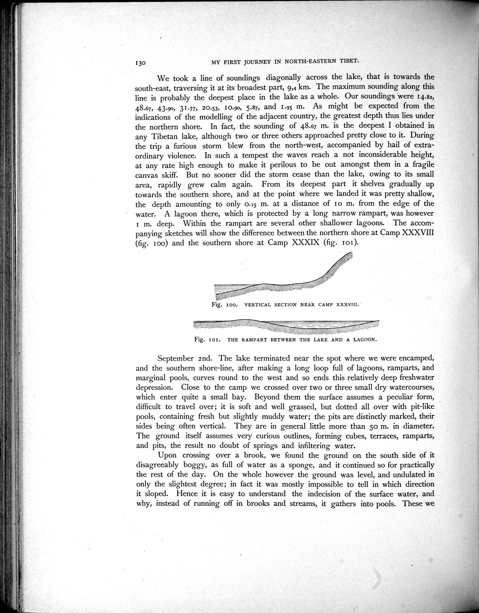
We took a line of soundings diagonally across the lake, that is towards the south-east, traversing it at its broadest part, 9,4 km. The maximum sounding along this line is probably the deepest place in the lake as a whole. Our soundings were 14.82, 48.67, 43.90, 31.77, 20.53, 10.90, 5.87, and 1.95 m. As might be expected from the indications of the modelling of the adjacent country, the greatest depth thus lies under the northern shore. In fact, the sounding of 48.67 m. is the deepest I obtained in any Tibetan lake, although two or three others approached pretty close to it. During the trip a furious storm blew from the north-west, accompanied by hail of extraordinary violence. In such a tempest the waves reach a not inconsiderable height, at any rate high enough to make it perilous to be out amongst them in a fragile canvas skiff. But no sooner did the storm cease than the lake, owing to its small area, rapidly grew calm again. From its deepest part it shelves gradually up towards the southern shore, and at the point where we landed it was pretty shallow, the depth amounting to only 0.15 m. at a distance of I o m. from the edge of the water. A lagoon there, which is protected by a long narrow rampart, was however I m. deep. Within the rampart are several other shallower lagoons. The accompanying sketches will show the difference between the northern shore at Camp XXXVIII (fig. I oo) and the southern shore at Camp XXXIX (fig. I o I ).
Fig. I00. VERTICAL SECTION NEAR CAMP XXXVIII.
September 2nd. The lake terminated near the spot where we were encamped, and the southern shore-line, after making a long loop full of lagoons, ramparts, and marginal pools, curves round to the west and so ends this relatively deep freshwater depression. Close to the camp we crossed over two or three small dry watercourses, which enter quite a small bay. Beyond them the surface assumes a peculiar form, difficult to travel over; it is soft and well grassed, but clotted all over with pit-like pools, containing fresh but slightly muddy water; the pits are distinctly marked, their sides being often vertical. They are in general little more than 5o m. in diameter. The ground itself assumes very curious outlines, forming cubes, terraces, ramparts, and pits, the result no doubt of springs and infiltering water.
Upon crossing over a brook, we found the ground on the south side of it disagreeably boggy, as full of water as a sponge, and it continued so for practically the rest of the day. On the whole however the ground was level, and undulated in only the slightest degree; in fact it was mostly impossible to tell in which direction it sloped. Hence it is easy to understand the indecision of the surface water, and why, instead of running off in brooks and streams, it gathers into pools. These we
;u
Fig. Ior. THE RAMPART BETWEEN THE LAKE AND A LAGOON.
|
Copyright (C) 2003-2019
National Institute of Informatics(国立情報学研究所)
and
The Toyo Bunko(東洋文庫). All Rights Reserved.
本ウェブサイトに掲載するデジタル文化資源の無断転載は固くお断りいたします。