国立情報学研究所 - ディジタル・シルクロード・プロジェクト
| |||||||||
|
| Scientific Results of a Journey in Central Asia, 1899-1902 : vol.3 | |
| 1899-1902年の中央アジア旅行における科学的成果 : vol.3 |
 |
FROM THE ARKA-TAGH TO THE GOLD-MINES OF TOGIIRI-SAJ. 167
does run from east to west. From its pass there will be a similar brook flowing towards the east, and entering a second main glen running towards the north. The latitudinal valley in question will therefore separate the Arka-tagh proper from a subsidiary range which lies parallel to it and is pierced by the river beside which we this day travelled. And this inference is further supported by the view which presented itself westwards from Camp LXIII; for the cauldron-shaped expansion was seen to be bordered on the north and north-west by a detached ridge, at any rate it is locally detached. The arrangement is therefore precisely the same as that which we find farther east near the Pitelik-darja, which is fed by the stream of this latitudinal valley, and itself breaks through one or two of the northern subsidiary ranges of the Arka-tagh. The transverse glen between Camp LXIII and Camp LXIV will thus cut through the continuation of one of these subsidiary chains, which we had crossed over when travelling south a few weeks before. The orographical disposition is however less distinct where I crossed the Arka-tagh farther to the west in 1896, although even there the main features are recognisable.
Owing to its contributories the stream swelled a little. Eventually the glen widens out a good deal and the country becomes open in every direction; even the stream, between its strongly emphasised terraced banks, grows continuously broader. The water-marks at the sides prove that this stream can at times swell out to even imposing dimensions. We made Camp LXIV (alt. 4598 m.) in an expansion, or rather in a longitudinal glen wedged in between the chain through which we had just made our way and the next following chain, which is low.
The sandstone came to an end shortly after we left Camp LXIII, and no longer appeared as hard rock. Its place was taken by a close-grained, brittle rock, dipping 43° towards the N. 4e E. ; and it was succeeded by a green schist dipping 65° towards the S. 3e W.
October 3rd. In the far off distance to the north we perceived a latitudinal range. Now that we were out in a more open country, the Arka-tagh presented rather an insignificant appearance; but then we were still too high for its relative altitude to be in any way remarkable. When seen from the Kum-köl however, it stands out as a gigantic snow-clad range.
In the expansion in which we formed Camp LXIV the stream died away in its gravelly bed; at the same time the surface, hard and admirable for travelling over, and inclining gently towards the north, is seamed by an endless number of watercourses, almost all of them then dry. A side-glen that comes down from the west or south-west contains a well-marked dry torrent, and from the south-east
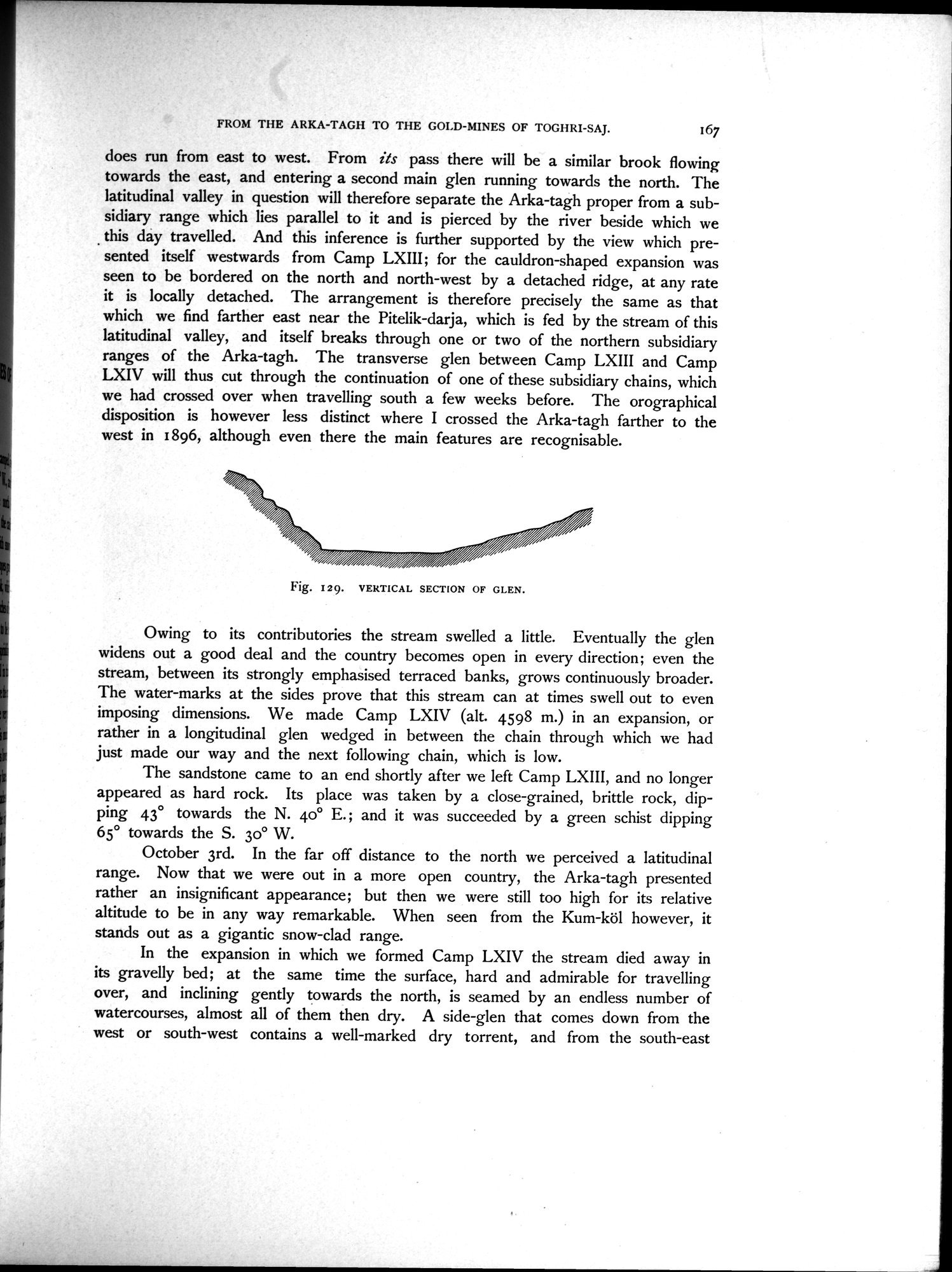
Fig. I29. VERTICAL SECTION OF GLEN.
|
Copyright (C) 2003-2019
National Institute of Informatics(国立情報学研究所)
and
The Toyo Bunko(東洋文庫). All Rights Reserved.
本ウェブサイトに掲載するデジタル文化資源の無断転載は固くお断りいたします。