国立情報学研究所 - ディジタル・シルクロード・プロジェクト
| |||||||||
|
| Scientific Results of a Journey in Central Asia, 1899-1902 : vol.3 | |
| 1899-1902年の中央アジア旅行における科学的成果 : vol.3 |
 |
384 JOURNEY TO ANAMBARUIN-ULA.
This concludes my description of the geography of the Astin-tagh system and that of the Anambaruin-ula. I propose in the fourth volume to return to this subject, when I will attempt to give a general review of the orographical structure and the relations of altitude. Here I will only point out, that I found the Astin-tagh system to consist of at least two parallel ranges, each successively forming the water-parting and dividing-line between Tsajdam and the Desert of Gobi. The Anambaruin-ula consists of a very massive range, crowned with perpetual snow, with, to the south of it, a minor chain considerably shorter than the main mass. On the north too it is accompanied by a less regular range of foothills, though from the route that we followed they were not very distinct. In the extreme east, where we crossed over it, the system consists of a single and relatively low range.
For the purpose of carrying out a thorough exploration of Anambaruin-ula, it would be necessary to have a fixed base of operations either at Särtäng or at Satscheo, whence one could, with the help of trusty Mongol guides, penetrate into the hidden glens and byeways of this great mountain-mass. The names which were given me during the return journey along the northern foot of the mountains are reliable enough, although I cannot answer for the Mongol pronunciation of the Chinese,
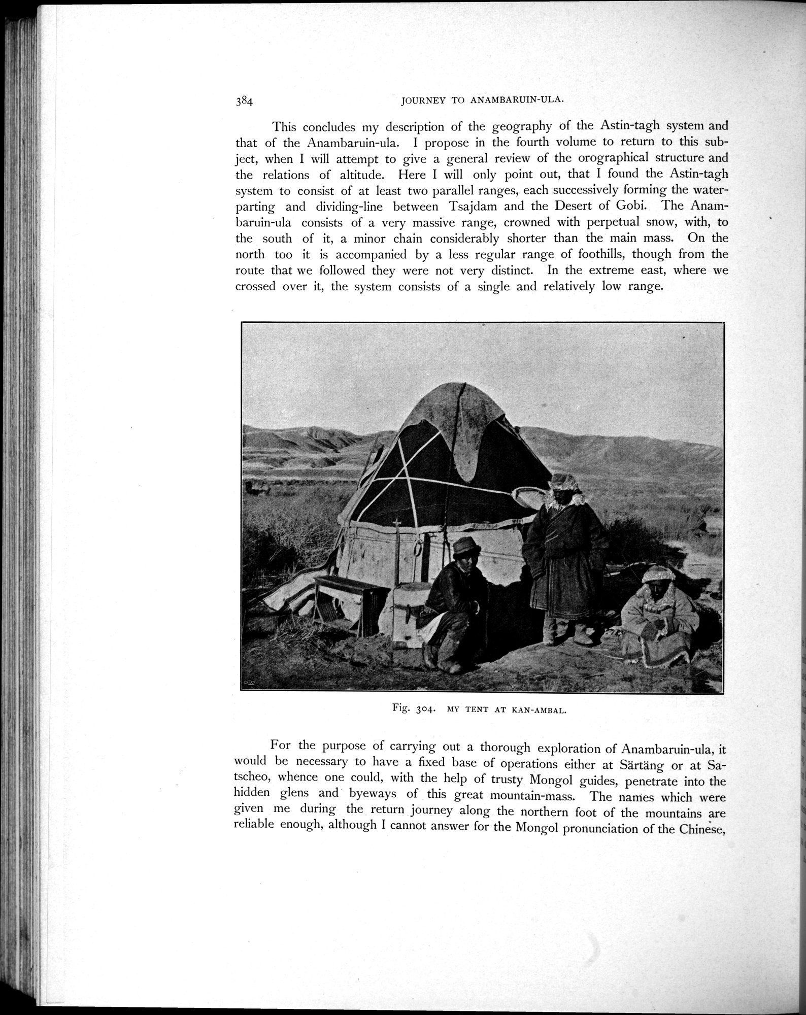
Fig. 304. MI' TENT AT KAN-AMBAL.
|
Copyright (C) 2003-2019
National Institute of Informatics(国立情報学研究所)
and
The Toyo Bunko(東洋文庫). All Rights Reserved.
本ウェブサイトに掲載するデジタル文化資源の無断転載は固くお断りいたします。