国立情報学研究所 - ディジタル・シルクロード・プロジェクト
| |||||||||
|
| Southern Tibet : vol.4 | |
| 南チベット : vol.4 |
 |
li
i
IN THE LATITUDINAL VALLEY SOUTH OF THE KWEN-LUN.
r
64
height of which is about 4,863 m. It is, therefore, at a more than 200 m. lower level than Pool-Iso, and the lowest lake we had passed so far. For five days we had followed the brook that finally emerges at its S. W. shore. This part of the great latitudinal valley resembled, therefore, in a very high degree the part of it that sloped to Lake Aksai-chin, though this eastern part generally was at a somewhat lower level. In both cases the fall of the valley is, as we have seen, extremely gradual, and in both cases there is a brook that gets most of its water from the Kwenlun, or northern side, where the mountains are higher and the amount of snow greater. We had found the western brook still carrying water, but the eastern one was cut off, dry and dead as we passed it later in the season. In both, deposition of material supercedes erosion, and in fact these rivulets are both in a state of exhaustion and dying. But still, in the summer they may bring down considerable quantities of water, when the snows on the southern side of the Kwen-lun are melting or when heavy rains are falling.
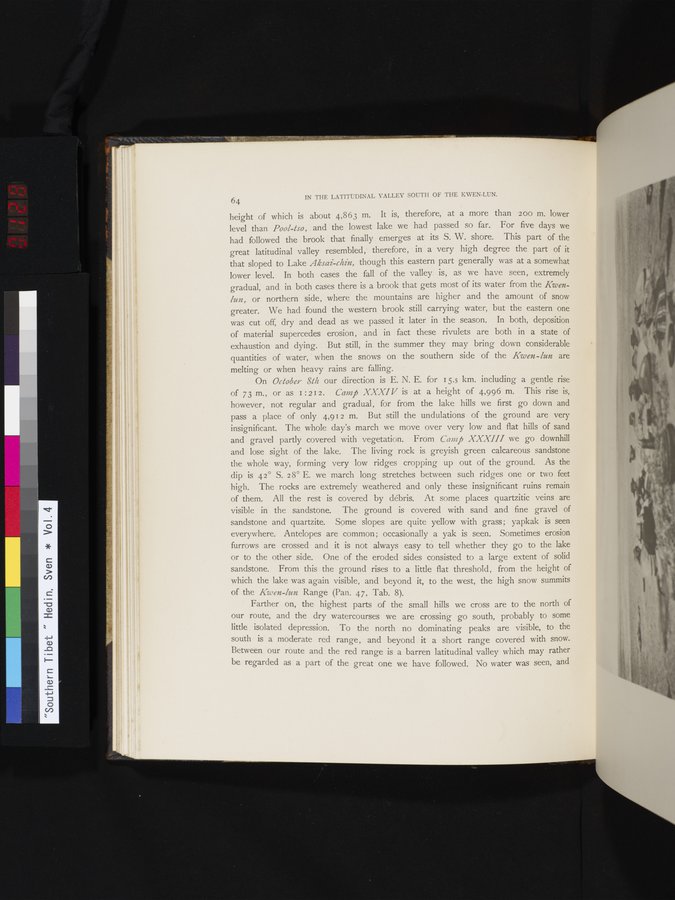
On October 8th our direction is E. N. E. for 15.5 km. including a gentle rise of 73 m., or as I : 2 12. Cara ft XXXI V is at a height of 4,996 m. This rise is, however, not regular and gradual, for from the lake hills we first go down and pass a place of only 4,912 m. But still the undulations of the ground are very insignificant. The whole day's march we move over very low and flat hills of sand and gravel partly covered with vegetation. From Camp XXXIII we go downhill and lose sight of the lake. The living rock is greyish green calcareous sandstone the whole way, forming very low ridges cropping up out of the ground. As the dip is 42° S. 28° E. we march long stretches between such ridges one or two feet high. The rocks are extremely weathered and only these insignificant ruins remain of them. All the rest is covered by débris. At some places quartzitic veins are visible in the sandstone. The ground is covered with sand and fine gravel of sandstone and quartzite. Some slopes are quite yellow with grass ; yapkak is seen everywhere. Antelopes are common ; occasionally a yak is seen. Sometimes erosion furrows are crossed and it is not always easy to tell whether they go to the lake or to the other side. One of the eroded sides consisted to a large extent of solid sandstone. From this the ground rises to a little flat threshold, from the height of which the lake was again visible, and beyond it, to the west, the high snow summits of the Kwen-lun Range (Pan. 47, Tab. 8).
Farther on, the highest parts of the small hills we cross are to the north of our route, and the dry watercourses we are crossing go south, probably to some
little isolated depression. To the north no dominating peaks are visible, to the south is a moderate red range, and beyond it a short range covered with snow.
Between our route and the red range is a barren latitudinal valley which may rather be regarded as a part of the great one we have followed. No water was seen, and
ti
|
Copyright (C) 2003-2019
National Institute of Informatics(国立情報学研究所)
and
The Toyo Bunko(東洋文庫). All Rights Reserved.
本ウェブサイトに掲載するデジタル文化資源の無断転載は固くお断りいたします。