国立情報学研究所 - ディジタル・シルクロード・プロジェクト
| |||||||||
|
| Southern Tibet : vol.4 | |
| 南チベット : vol.4 |
 |
402 FROM NGANGLARING-TSO TO TOKCHEN.
belong to the last-mentioned range. The mountains to the S. S. W., S. W. and W. S. W., amongst them the Gangchen and Gangchung, seem to form a special range east of the north-western part of the Ding-la Range.
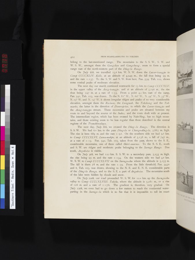
On Yuly 6th, we travelled 13.6 km. W. N. W. down the Lavar-Isangpo to Camp CCCCXLIV, Kelle, at an altitude of 4,949 m., the fall thus being 99 m. and the rate i : 13 7. To the S. W. and N. W. from here, Pan. 539, Tab. 102, shows some conical peaks of moderate elevation.
The next day our march continued westwards for 13 km. to Camp CCCCXL V,
in the upper valley of the Aong-lsangj5o, and at an altitude of 5,196 m., the rise thus being 247 m. at a rate of 1:53. From a point 4.5 km. east of the camp, Pan. 541, Tab. 103, was drawn. To the N. 81° W., N. 6o° W., N. 44° W., N. 33° W., N. 2 3° W. and N. 14° W. it shows irregular ridges and peaks of no very considerable elevation, amongst them the Ra-taon, the Lungnak, the Tokchung and the Tokmarbo, the latter in the direction of Datura j5-tso, to which the Lavay-tsango and the Aong-tsangj5o stream. These mountains and peaks are situated between my route to and beyond the source of the Indus, and the route dealt with at present. The intermediate region, which has been crossed by Nain-Sing, has no high mountains, and those existing seem to be less regular than those described in the central regions of the Transhimalaya.
The next day, 7uly 8th, we crossed the Ding- la Range. The direction is
S. S. W. We had 6.6 km. to the pass Ding-la or Charge-ding-la, 5,885 m. high. The rise is here 689 m. and the rate i : 9.6. On the southern side we had 9.8 km. to Camp CCCCXL VI, Luma-nakj5o, at an altitude of 5,138 m., a fall of 747 m., at a rate of I:13. Pan. 542, Tab. 103, taken from the pass, shows to the S. E., considerable mountains, one of them called Shiri - marnmo. To the S. S. E., south and S. W. are ridges and moderate peaks belonging to the Surnge Range. Due south, Argok-tso is visible.
On 7uly 9th, we had 12.7 km. S. S. W. to a secondary pass, 5,233 m. high,
the rise being 95 m. and the rate i : 134. On the western side we had 4.6 km. W. S. W. to Camp CCCCXL VII on the Surnge-chu where the altitude is 5,155 m. The fall is there 78 m. and the rate 1 : 59. From the little threshold, Pan. 543A and B, Tab. 103, was drawn, showing to the N. E. and E. N. E. considerable parts of the Ding-la Range, and to the S. E. a part of Argok-Iso. The mountains south of the lake were hidden by clouds and snow.
On 7uly loth, our road proceeded W. S. W. for 22.2 km. up the Surnge-chu
valley to Camp CCCCXL VIII, Takche, where the altitude is 5,281 m., or a rise of 126 m. and a rate of 1 :176. The gradient is, therefore, very gradual. On 7uly 12th, we even had to go down a few meters to reach the continental water-parting in the Surnge - la which is so flat that it is impossible to tell its exact
|
Copyright (C) 2003-2019
National Institute of Informatics(国立情報学研究所)
and
The Toyo Bunko(東洋文庫). All Rights Reserved.
本ウェブサイトに掲載するデジタル文化資源の無断転載は固くお断りいたします。