国立情報学研究所 - ディジタル・シルクロード・プロジェクト
| |||||||||
|
| Southern Tibet : vol.4 | |
| 南チベット : vol.4 |
 |
CHAPTER XXXIV.
ALONG THE CENTRAL LAKES.
It now only remains to examine the distances and plastic forms of the marches along the Central Lakes, situated at the northern base of the T-anshilnalayan System, and finally, to say a few words of the crossing of the same system from Nganglaringtso to Manasarovar, which from a chronological point of view, was the eighth one.
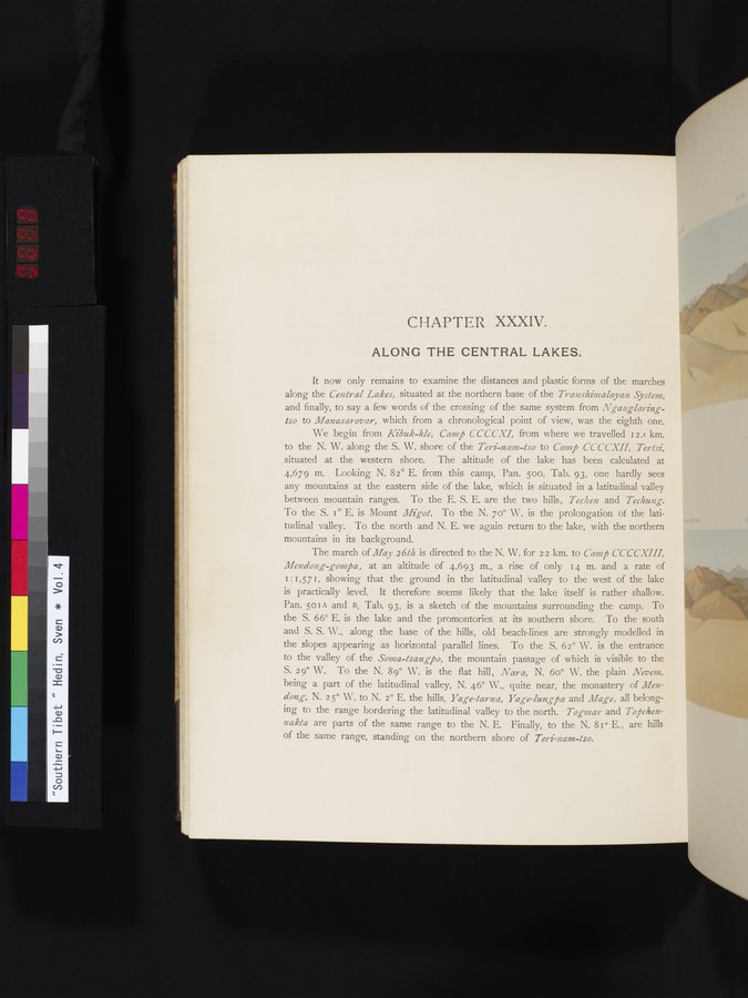
We begin from Kibuk-hle, Camp CCCCXI, from where we travelled I2.' km. to the N. W. along the S. W. shore of the Teri-nam-tso to Camp CCCCXII, Tertsi, situated at the western shore. The altitude of the lake has been calculated at 4,679 m. Looking N. 82° E. from this camp, Pan. 500, Tab. 93, one hardly sees any mountains at the eastern side of the lake, which is situated in a latitudinal valley between mountain ranges. To the E. S. E. are the two hills, Techen and Techung. To the S. I° E. is Mount Migot. To the N. 70° W. is the prolongation of the latitudinal valley. To the north and N. E. we again return to the lake, with the northern mountains in its background.
The march of May 2 6th is directed to the N. W. for 2 2 km. to Camp C'CCCXIII, Mendong-gom j5a, at an altitude of 4,693 m., a rise of only 14 m. and a rate of 1:1,571, showing that the ground in the latitudinal valley to the west of the lake is practically level, It therefore seems likely that the lake itself is rather shallow. Pan. 501A and B, Tab. 93, is a sketch of the mountains surrounding the camp. To the S. 66° E. is the lake and the promontories at its southern shore. To the south and S. S. W., along the base of the hills, old beach-lines are strongly modelled in the slopes appearing as horizontal parallel lines. To the S. 62° W. is the entrance to the valley of the Sonia-tsangpo, the mountain passage of which is visible to the S. 29° W. To the N. 89° W. is the flat hill, Nara, N. 60° W. the plain Nevem, being a part of the latitudinal valley, N. 46° W., quite near, the monastery of Men-dong, N. 2 5° W. to N. 2° E. the hills, Yage-tarna, Yage-lungj5a and Mage, all belonging to the range bordering the latitudinal valley to the north. Togmar and Tofchennakta are parts of the same range to the N. E. Finally, to the N. 81° E. , are hills of the same range, standing on the northern shore of Teri-nam-tso.
|
Copyright (C) 2003-2019
National Institute of Informatics(国立情報学研究所)
and
The Toyo Bunko(東洋文庫). All Rights Reserved.
本ウェブサイトに掲載するデジタル文化資源の無断転載は固くお断りいたします。