国立情報学研究所 - ディジタル・シルクロード・プロジェクト
| |||||||||
|
| Southern Tibet : vol.4 | |
| 南チベット : vol.4 |
 |
16o
TO DUMBOK-TSO.
a
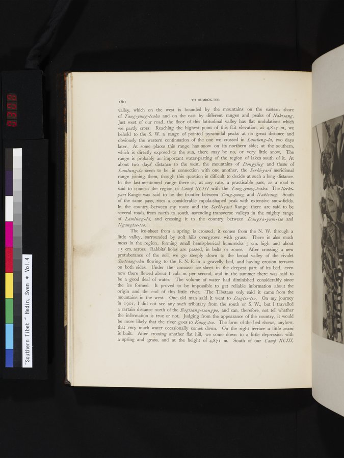
valley, which on the west is bounded by the mountains on the eastern shore of Tang yung-tsaka and on the east by different ranges and peaks of Naktsang. Just west of our road, the floor of this latitudinal valley has flat undulations which we partly cross. Reaching the highest point of this flat elevation, at 4,817 m., we behold to the S. W. a range of pointed pyramidal peaks at no great distance and obviously the western continuation of the one we crossed in Lamlung-la, two days later. At some places this range has snow on its northern side; at the southern, which is directly exposed to the sun, there may be no, or very little snow. The range is probably an _ important water-parting of the region of lakes south of it. At about two days' distance to the west, the mountains of Dongying and those of Laanlung-la seem to be in connection with one another, the Serki-yari meridional range joining them, though this question is difficult to decide at such a long distance. In the last-mentioned range there is , at any rate, a practicable pass, as a road is said to connect the region of Camp XCIII with the Tang yung-tsaka. The Serkiyari Range was said to be the frontier between Tang-yung and Naktsang. South of the same pass, rises a considerable cupola-shaped peak with extensive snow-fields. In the country between my route and the Serki-yari Range, there are said to be several roads from north to south, ascending transverse valleys in the mighty range of Lamlung- la, and crossing it to the country between Dangra yum - tso and
Ngangtse-tso.
The ice-sheet from a spring is crossed ; it comes from the N. W. through a little valley, surrounded by soft hills overgrown with grass. There is also much moss in the region, forming small hemispherical hummocks 5 cm. high and about I5 cm. across. Rabbits' holes are passed, in belts or zones. After crossing a new protuberance of the soil, we go steeply down to the broad valley of the rivulet Sertsang-chu flowing to the E. N. E. in a gravelly bed, and having erosion terraces on both sides. Under the concave ice-sheet in the deepest part of its bed, even now there flowed about 1 cub. m. per second, and in the summer there was said to be a good deal of water. The volume of water had diminished considerably since the ice formed. It proved to be impossible to get reliable information about the origin and the end of this little river. The Tibetans only said it came from the mountains in the west. One old man said it went to Dagtse-/so. On my journey in I 901, I did not see any such tributary from the south or S. W., but I travelled a certain distance north of the Bogtsang-tsangpo, and can, therefore, not tell whether the information is true or not. Judging from the appearance of the country, it would be more likely that the river goes to Kung-tso. The form of the bed shows, anyhow, that very much water occasionally comes down. On the right terrace a little mani is built. After crossing another flat hill, we come down to a little depression with a spring and grass, and at the height of 4,87 I m. South of our Camp XCIII,
|
Copyright (C) 2003-2019
National Institute of Informatics(国立情報学研究所)
and
The Toyo Bunko(東洋文庫). All Rights Reserved.
本ウェブサイトに掲載するデジタル文化資源の無断転載は固くお断りいたします。