国立情報学研究所 - ディジタル・シルクロード・プロジェクト
| |||||||||
|
| Southern Tibet : vol.4 | |
| 南チベット : vol.4 |
 |
CHAPTER XIV.
THE JOURNEY TO TAN KS E.
From the confluence to Tashi-gang we had, on November i3th, r 2.6 km., the fall of the valley being as gradual as before or from 4,254 m. to 4,248 m., the rate being as i : 2 I 00. The road follows the left bank of the river. The latter is often divided into two or more arms, and usually a small side branch makes a sharper bend than the main branch. The river is very broad and shallow, and it seems to have nearly the same breadth as when flooded. The erosion terraces are very low, sometimes nearly disappearing. The bank is often swampy, and a large number of springs come up, sending their frozen brooks, in gravelly beds, to the river. Old camping places are common, though now not a single tent was seen.
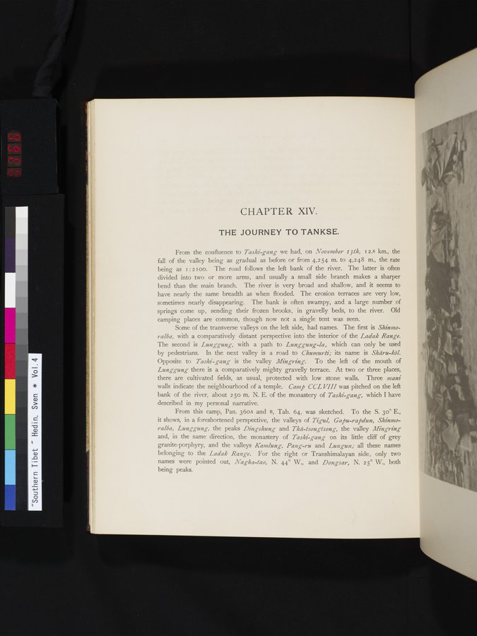
Some of the transverse valleys on the left side, had names. The first is Shinmoralba, with a comparatively distant perspective into the interior of the Ladak Range. The second is Lunggung, with a path to Lunggung-la, which can only be used by pedestrians. In the next valley is a road to Chumurti; its name is Shäru-köl. Opposite to Tashi-gang is the valley Mingring. To the left of the mouth of Lunggung there is a comparatively mighty gravelly terrace. At two or three places, there are cultivated fields, as usual, protected with low stone walls. Three mani walls indicate the neighbourhood of a temple. Camp CCL VIII was pitched on the left bank of the river, about 2 50 m. N. E. of the monastery of Tashi gang, which I have described in my personal narrative.
From this camp, Pan. 36oA and B, Tab. 64, was sketched. To the S. 3o° E., it shows, in a foreshortened perspective, the valleys of Tigul, Gapu-rapdun, Shinmoralba, Lunggung, the peaks Dingshung and Thä-tsongisong, the valley Ming ring= and, in the same direction, the monastery of Tashi-gang on its little cliff of grey granite-porphyry, and the valleys Kamlung, Pang-ru and Lungun; all these names belonging to the Ladak Range. For the right or Transhimalayan side, only two names were pointed out, Nag-ha-tao, N. 44° W., and Dongsar, N. 2 5° W., both
being peaks.
|
Copyright (C) 2003-2019
National Institute of Informatics(国立情報学研究所)
and
The Toyo Bunko(東洋文庫). All Rights Reserved.
本ウェブサイトに掲載するデジタル文化資源の無断転載は固くお断りいたします。