国立情報学研究所 - ディジタル・シルクロード・プロジェクト
| |||||||||
|
| Southern Tibet : vol.4 | |
| 南チベット : vol.4 |
 |
76 CROSSING THE KOKO-SHILI RANGES.
I 8th of October we had a temperature of — 2 8.2°, and as a rule the temperature of the day did not rise above freezing point.
From Camp XLII we continue S. E. on the soft slopes at the western side of the principal watercourse of the valley. The latter is broad and open as a plain, where antelopes and yaks were grazing. The animal life was otherwise represented only by a few ravens and one eagle. As usual, the ground was perforated by rabbits' holes, though the animals themselves at this season already were living under ground. The valley plain is surrounded by low, rounded hills on all sides. From them small shallow tributaries come down to the principal watercourse. Most of them were dry. To the east there was obviously a pass, a little higher than the one we crossed. It would perhaps have brought us to a more easy region than the one in which we lost ourselves.
The pass, 5,357 m. high, was flat, and grass grew all the way up. The view was not encouraging. To the N. W., from where we came, the country looked very favourable, it was like a sea of small red and violet ranges, but generally at a distance from each other and leaving plains between. The Kwen-lun Mountains had now disappeared completely. To the S. E., in the direction of our march, there was not a bit of level ground, everything was mountains, which, although not high, were a great hindrance to us. On the peaks of some of them, there was snow, though probably not eternal.
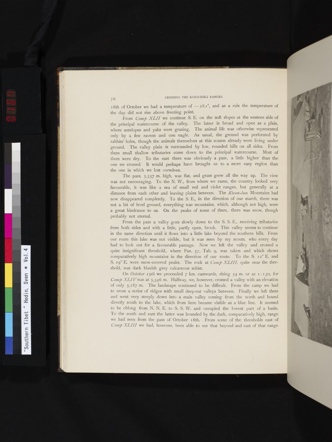
From the pass a valley goes slowly down to the S. S. E., receiving tributaries from both sides and with a little, partly open, brook. This valley seems to continue in the same direction until it flows into a little lake beyond the southern hills. From our route this lake was not visible, but it was seen by my scouts, who every day had to look out for a favourable passage. Now we left the valley and crossed a quite insignificant threshold, where Pan. 57, Tab. 9, was taken and which shows comparatively high mountains in the direction of our route. To the S. i2° E. and S. 19° E. were snow-covered peaks. The rock at Camp XLIII, quite near the threshold, was dark blueish grey calcareous schist.
On October 191/i we proceeded 7 km. eastwards, rising 54 m. or as I : I3o, for Camp XLI V was at 5,346 m. Halfway, we, however, crossed a valley with an elevation of only 5,187 m. The landscape continued to be difficult. From the camp we had to cross a series of ridges with small deep-cut valleys between. Finally we left them and went very steeply down into a main valley coming from the north and bound directly south to the lake, which from here became visible as a blue line. It seemed to be oblong from N. N. E. to S. S. W. and occupied the lowest part of a basin. To the south and east the latter was bounded by the dark, comparatively high, range we had seen from the pass of October 18th. From some of the thresholds east of Camp XLIII we had, however, been able to see that beyond and east of that range
|
Copyright (C) 2003-2019
National Institute of Informatics(国立情報学研究所)
and
The Toyo Bunko(東洋文庫). All Rights Reserved.
本ウェブサイトに掲載するデジタル文化資源の無断転載は固くお断りいたします。