国立情報学研究所 - ディジタル・シルクロード・プロジェクト
| |||||||||
|
| Southern Tibet : vol.4 | |
| 南チベット : vol.4 |
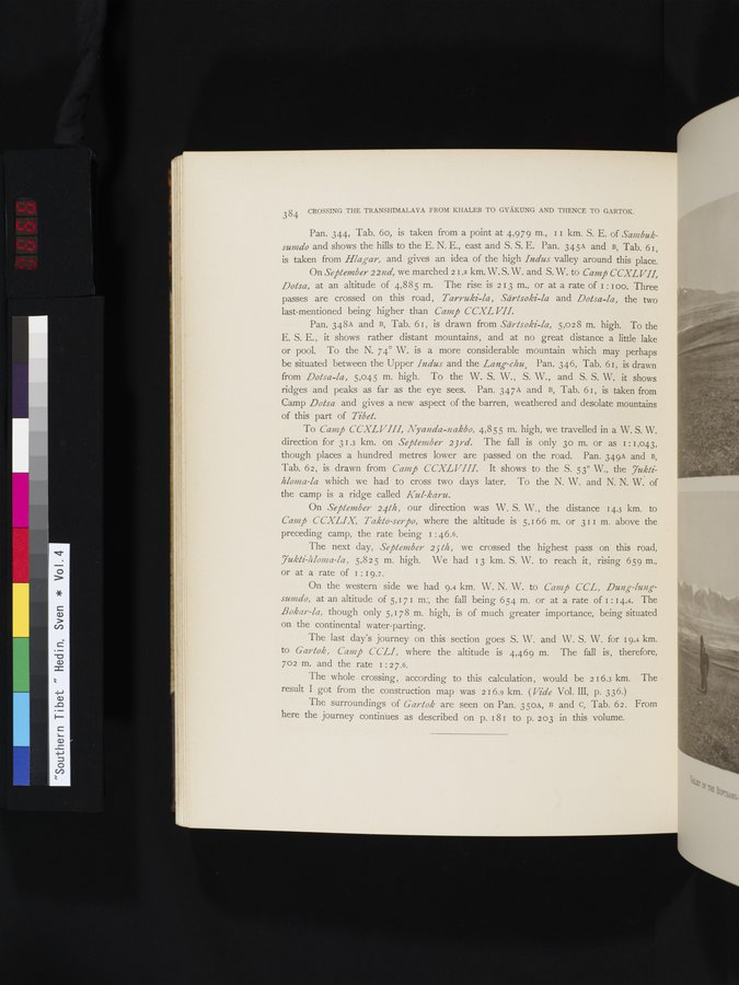 |
| i | 384 CROSSING THE TRANSHIMALAYA FROM KHALEB TO GYÄKUNG AND THENCE TO GARTOK. Pan. 344, Tab. 6o, is taken from a point at 4,979 m., II km. S. E. of Sanzbuksumdo and shows the hills to the E. N. E., east and S. S. E. Pan. 345A and B, Tab. 6I, is taken from Hlagar, and gives an idea of the high Indus valley around this place. On September 22nd, we marched 21.2 km. W.S. W. and S. W. to Camp CCXLVII, Dotsa, at an altitude of 4,885 m. The rise is 213 m., or at a rate of 1: I oo. Three passes are crossed on this road, Tarruki-la, Särtsoki-la and Dotsa-la, the two last-mentioned being higher than Camp CCXL VII. Pan. 348A and B, Tab. 61, is drawn from Särtsoki-la, 5,028 m. high. To the E. S. E., it shows rather distant mountains, and at no great distance a little lake or pool. To the N. 74° W. is a more considerable mountain which may perhaps be situated between the Upper Indus and the Lang-chu. Pan. 346, Tab. 61, is drawn from Dotsa-la, 5,045 m. high. To the W. S. W., S. W., and S. S. W. it shows ridges and peaks as far as the eye sees. Pan. 347A and B, Tab. 61, is taken from Camp Dotsa and gives a new aspect of the barren, weathered and desolate mountains of this part of Tibet. To Camp CCXLVII!, Nyanda-nakbo, 4,855 m. high, we travelled in a W. S. W. direction for 31.3 km. on September 23rd. The fall is only 3o m. or as 1:1,043 though places a hundred metres lower are passed on the road. Pan. 349A and B, Tab. 62, is drawn from Camp CCXLVIII. It shows to the S. 53° W., the 7uktihloma-la which we had to cross two days later. To the N. W. and N. N. W. of the camp is a ridge called Kul-karu. On September 24th, our direction was W. S. W., the distance 14.5 km. to Camp CCXLIX, Takto-serpo, where the altitude is 5,166 m. or 311 m. above the preceding camp, the rate being 1 : 46.6. The next day, September 25th, we crossed the highest pass on this road, 7ukti-/iloma-la, 5,825 m. high. We had 13 km. S. W. to reach it, rising 659 m., or at a rate of I : 19.7. On the western side we had 9.4 km W. N. W. to Camp CCL, Dung-lungsumdo, at an altitude of 5,171 m:, the fall being 654 m. or at a rate of 1 : 14.4. The Bokar-la, though only 5,178 m. high, is of much greater importance, being situated on the continental water-parting. The last day's journey on this section goes S. W. and W. S. W. for 19.4 km. to Gartok, Camp CCLI, where the altitude is 4,469 m. The fall is, therefore, 702 m. and the rate 1:27.6. The whole crossing, according to this calculation, would be 216.3 km. The result I got from the construction map was 216.9 km. ( Vide Vol. III, p. 336.) The surroundings of Gartok are seen on Pan. 350A, B and c, Tab. 62. From here the journey continues as described on p. 181 to p. 203 in this volume. | ||||||||
|
Copyright (C) 2003-2019
National Institute of Informatics(国立情報学研究所)
and
The Toyo Bunko(東洋文庫). All Rights Reserved.
本ウェブサイトに掲載するデジタル文化資源の無断転載は固くお断りいたします。