国立情報学研究所 - ディジタル・シルクロード・プロジェクト
| |||||||||
|
| Southern Tibet : vol.4 | |
| 南チベット : vol.4 |
 |
8o
CROSSING THE KOKO-SHILI RANGES.
u
system behind. This last day's march had cost the life of one fifth of the caravan, and the condition of all the surviving animals had by no means been improved by the hardships. In such cases as this it would always be better thoroughly to reconnoitre the region to make sure whether it is practicable for the caravan. After such hardships as these, one has only one thing to do to save the rest of the caravan and avoiding a catastrophe, and that is to find a place with good grass and water and give the animals a few days' rest.
So on October 241h we only covered 5.9 km. to the E. S. E. and S. E. to Camp XL VIII where the height was 5,153 m., or 7o m. below Camp XL VII, giving a rate of descent as I : 84. Our route follows the base of the hills to our right or S. W., where innumerable small, dry watercourses are crossed, all very shallow and some containing ice. To our left is the plain, partly covered with sand and gravel, partly with grass. To the east and N. E. it is bounded by low hills. To the north is a snow-covered range of moderate size, being either the continuation of or a ramification from, the range we had just crossed. At Camp XL VIII the grass was very good, and there was a large amount of wild yak's dung. A spring gave good water which formed extensive ice-sheets. The soil consisted of sand and gravel. A short distance south of the camp is a salt lake which seemed to be oblong from N. N. E. to S. S. W., though, as a rule, it is difficult to determine the contours of the lakes from a distance. It was surrounded by a ring of white salt crystallisations, and was frozen hard. The whole day a S. W. storm was blowing which did not cease until dark.
From Camp XL VIII Pan. 59, Tab. i o, was drawn from north over east to south, the rest of the horizon being hidden by the hills at the base of which we camped. It shows all the hills visible in that direction, the greatest part of the lake, except its western shore, and to S. 57° E. it shows the low region we were going to cross the next day.
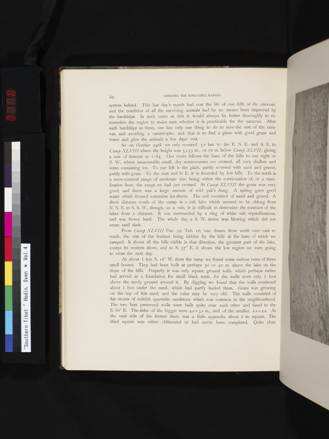
At about 1 km. S. 16° W. from the camp we found some curious ruins of three small houses. They had been built at perhaps 3o or 4o m. above the lake on the slope of the hills. Properly it was only square ground walls, which perhaps rather had served as a foundation for small black tents, for the walls were only 1 foot above the sandy ground around it. By digging we found that the walls continued about 1 foot under the sand, which had partly buried them. Grass was growing on the top of this sand, and the ruins may be very old. The walls consisted of flat stones of reddish quartzitic sandstone which was common in the neighbourhood. The two best preserved walls were built quite near each other and faced to the S. 8o° E. The sides of the bigger were 4.0x 3.1 m., and of the smaller, 2.2 x 2.2. At the west side of the former there was a little appendix about 1 m. square. The third square was either obliterated or had never been completed. Quite close
|
Copyright (C) 2003-2019
National Institute of Informatics(国立情報学研究所)
and
The Toyo Bunko(東洋文庫). All Rights Reserved.
本ウェブサイトに掲載するデジタル文化資源の無断転載は固くお断りいたします。