国立情報学研究所 - ディジタル・シルクロード・プロジェクト
| |||||||||
|
| Southern Tibet : vol.4 | |
| 南チベット : vol.4 |
 |
392 FROM USHÜ TO TERI-NAM-TSO.
of 5,82o m. The rise is, therefore, 234 m. and the rate, 1: 20.5. On the northern side we had 9.1 km. to Camp CCCCIV at a height of 5,435 m. , a fall of 385 m. at a rate of 1 : 2 3.6. The direction is N. N. E. and north. Pan. 486, Tab. 9o, is a view to the north from the pass. Pan. 487, Tab. 9o, is a view to the S. S. E.
In the other direction the camp was enclosed by hills in the immediate vicinity.
On May 13th, the slope down to the north in the valley of Sang-mo yungwas more gradual, or 1:50.3 the distance being 15.8 km. Camp CCCCV had an
altitude of 5,12i m., and the descent was 314 m. Pan. 489, Tab. 91, is a little view to the N. N. E. from the camp, and Pan. 490, Tab. 91, shows the view to the south and S. S. W. from the same place.
The fall of the ground becomes still more gradual the next day, May i4lh, or I :88. Here we marched 13.8 km. N. N. E. to Camp CCCCVI, descending i57 m.
or to an altitude of 4,964 m. The view to the N. N. E. and N. E. and to the S. S. E. and S. S. W. from this camp is represented on Pan. 491 and 492, Tab. 91.
On May 151h, the descent decreased again, being only 1 : 109. The distance was 19.7 km. N. E. to Camp CCCCVII, Kangmar, with an altitude of 4,783 m., the fall being thus 181 m.
On May 17th, our march continued N. E. for 18.6 km. to Camp CCCCVIII, Daksha-lungpa, at an altitude of 5,15o m. ; the rise here being 367 m. or as I :51. From this camp views were taken to the S. E. and S. W., as shown on Pan. 494 and 495, Tab. 92.
On May 18th, we travelled 14 km., first E. S. E. to the little pass, Dongchen-la, 5,113 m. high, then N. N. E. to Camp CCCCIX, at an altitude of 4,714 m., being a descent of 436 m. , and at a rate of I : 3 2. From the camp Pan. 493A and B, Tab. 91, was sketched. It shows to the N. W. , north and N. E., a range which may be regarded as a ramification from the range crossed in the Donchen-la, and which, in the absence of a better name, I have called Teri-nain Range. The latter range is to be seen to the south on the same panorama.
On May 19112, we turned north-westwards, marching 7.4 km. to Tela-la, 4,958 m.
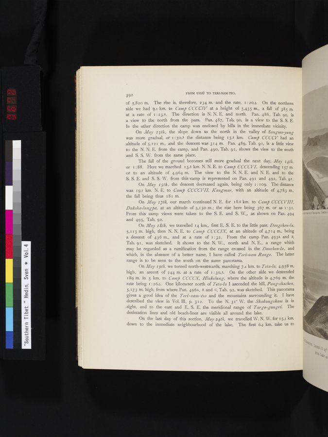
high, an ascent of 244 m. at a rate of I :30.3. On the other side we descended 189 m. in 5 km. to Camp CCCCX, Hlakelung, where the altitude is 4,769 m. the rate being 1: 2 6.5. One kilometer north of Tela-la I ascended the hill, Pang-shachen, 5,173 m. high, from where Pan. 496A, B and c, Tab. 92, was sketched. This panorama gives a good idea of the Teri - n am - tso and the mountains surrounding it. I have described the view in Vol. III, p. 312. To the N. 31° W. the Shakangsham is in sight, and to the east and E. S. E. the meridional range of Targo-gangri. The desiccation lines and old beach-lines are visible all around the lake.
On the last day of this section, May 24111, we travelled W. N. W. for 15.3 km. down to the immediate neighbourhood of the lake. The first 6.5 km. take us to
|
Copyright (C) 2003-2019
National Institute of Informatics(国立情報学研究所)
and
The Toyo Bunko(東洋文庫). All Rights Reserved.
本ウェブサイトに掲載するデジタル文化資源の無断転載は固くお断りいたします。