国立情報学研究所 - ディジタル・シルクロード・プロジェクト
| |||||||||
|
| Southern Tibet : vol.4 | |
| 南チベット : vol.4 |
 |
200 THE JOURNEY TO TANKSE.
and small blocks of granite. A new series of manis is passed before we reach the swamp and grazing ground of Dung-lung.
On November 22nd our road turns a little N. N. W. The distance to Chushul is 33.5 km. From Dung-lung, Camp CCLXV, 4,449 m high, we have 4.2 km, to the pass, Tsake-la, 4,653 m. high, the rate of the ascent being as i :20.6. Chushul, Camp CCLXVI, is at 4,359 m., or 294 m. below the pass; the rate of the descent is here as i : i oo. With swampy ground, some vegetation and a mani wall to our left, we follow the comfortable path along the erosion furrow from the pass, and reach the flat and easy Tsake-la, adorned with a cairn, poles and rags. It affords an easy passage from the Indus to the Pangg'ong-Eso. The view is not imposing. The valley on the N. W. side is broad and open and runs in a nearly straight line to Chushul and Pangg'ong-tso. In its background the snowy mass is always visible. It is the mighty range on the S. W. shore of Panggong-tso. The mountains on the northern shore of the same lake rise to the right and a little farther away than the first-mentioned group. On the pass we had a fresh S. E. wind and a temperature of —4.5°, after —10.3° in the night. Later on we had a N. N. W. wind, increasing towards evening.
From the pass we go slowly down along the base of the left mountains, where there are large numbers of springs, stone walls, grass and bushes in stripes. From the left side a series of tributary valleys enter, among others Chushag-kongma, Chushag yoglna and Lungun. The range to our right is low, and has only very small valleys. One of them has a road leading to Rudok. Argha is a valley from the left. Here is the mani cairn Arge-lato with heaps of horns , poles and rags. The rock consists of grey, porphyric quartz-biotite-diorite. The floor of the valley is very even and hard and, nearly everywhere, barren. Only occasionally there are small patches of vegetation. The road generally runs in the middle of the valley. The last part of it runs along the left mountains. Boptsang is a tributary valley from the left. The main erosion bed of the principal valley sticks to its right side. Morg-hu-naga is a broad valley to the right, in which there is a road to Pangur-tso. Rallamor is a valley from the left. Riding along the base of the hills, we have the wide, yellow plain to our right, with extensive ice-sheets here and there.
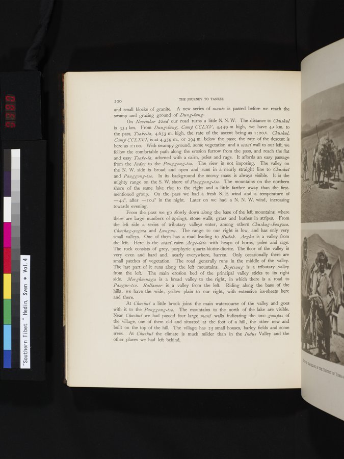
At Chushul a little brook joins the main watercourse of the valley and goes with it to the Pangg-ong-tso. The mountains to the north of the lake are visible. Near Chushul we had passed four large mani walls indicating the two gompas of the village, one of them old and situated at the foot of a hill, the other new and built on the top of the hill. The village has 25 small houses, barley fields and some trees. At Chushul the climate is much milder than in the Indus Valley and the other places we had left behind.
|
Copyright (C) 2003-2019
National Institute of Informatics(国立情報学研究所)
and
The Toyo Bunko(東洋文庫). All Rights Reserved.
本ウェブサイトに掲載するデジタル文化資源の無断転載は固くお断りいたします。