国立情報学研究所 - ディジタル・シルクロード・プロジェクト
| |||||||||
|
| Southern Tibet : vol.4 | |
| 南チベット : vol.4 |
 |
lo
38 2 CROSSING THE TRANSHIMALAYA FROM KHALEB TO GYÄKUNG AND THENCE TO GARTOK.
The next day's march, September I ith, took us 16.5 km. N. E. across the secondary pass of 7ekung-la, 5,294 m. high, to the first class pass of Lamo-latse-la, 5,426 m. high, and situated on the continental water-parting of the Transhimalaya. The rise to the pass was 261 m., or as I : 63. From the pass to Camp CCXXXVII, the distance was 3.7 km. and the descent 2 5 0 m. or as I : 15. It was thus an exception from the morphological rule, according to which the northern slope, as a rule, has a more gradual gradient than the one to the south. Lamo-lachen-la is on the water-parting between the Indian Ocean and the Chang'-tang plateau-land without outlet to the sea.
On Pan. 327, Tab. 59, taken from 7ekung--la we see to the N. 60° E. the
Lamo-latse-la on our road, the valley of the Bokar-tsangpo to the S. 61° E., a peak Yama-kolo to the south, and to the S. S. W. two passes Dopchen-la and
Hle-la, probably situated in the same range as the Tseli-lachen-la. From Lamolatse-la Pan. 328, Tab. 59, was drawn to the west, and Pan. 329, Tab. 59, to the east. The Kailas is in sight from none of these passes.
On September I2th, we travelled 19.5 km. E. N. E. and N. E. to Camp CCXXXVIII, Dam-tärngo, at an altitude of 4,991 m., or a descent of 185 m. at a rate of I:105. From a point 7 km. N. 7o° E. of Camp CCXXXVII Pan. 331, Tab. 59, was drawn to the N. E. and Pan. 332, Tab. 59, to the S. W. Pan. 330A and B, Tab. 59, is from Damtärngo and shows a region of flat mountains all around without any prominent peaks.
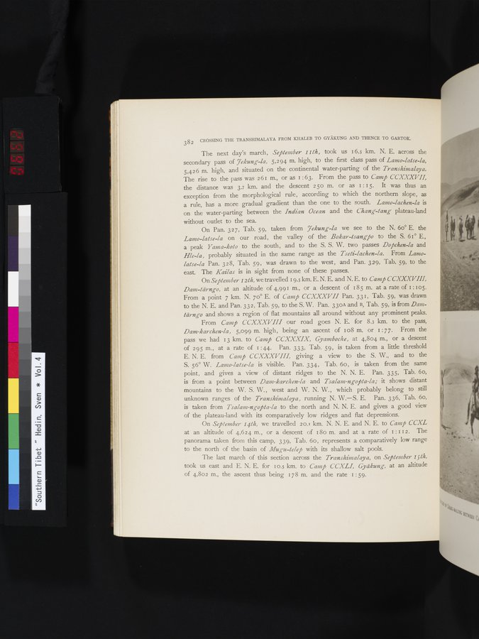
From Camp CCXXXVIII our road goes N. E. for 8.3 km. to the pass, Dam-karchen-la, 5,099 m. high, being an ascent of 1 o8 m. or I : 77. From the pass we had 13 km. to Camp CCXXXIX, Gyamboche, at 4,804 m., or a descent of 295 m. , at a rate of I : 44. Pan. 333, Tab. 59, is taken from a little threshold E. N. E. from Camp CCXXXVIII, giving a view to the S. W., and to the S. 56° W. Lamo-false-la is visible. Pan. 334, Tab. 6o, is taken from the same point, and gives a view of distant ridges to the N. N. E. Pan. 335, Tab. 6o,
is from a point between Dam-karchen-la and Tsalam-ngopta-la; it shows distant mountains to the W. S. W., west and W. N. W., which probably belong to still unknown ranges of the Transhimalaya, running N. W.—S. E. Pan. 336, Tab. 6o, is taken from Tsalam-ngopta-la to the north and N. N. E. and gives a good view of the plateau-land with its comparatively low ridges and flat depressions.
On September 141h, we travelled 20.1 km. N. N. E. and N. E. to Camp CCXL at an altitude of 4,624 m. , or a descent of 180 m. and at a rate of I : I I 2 . The panorama taken from this camp, 339, Tab. 6o, represents a comparatively low range to the north of the basin of Mugu-telep with its shallow salt pools.
The last march of this section across the Transhimalaya, on September i5lh, took us east and E. N. E. for 10.5 km. to Camp CCXLI, Gyäkung, at an altitude of 4,802 m., the ascent thus being 178 m. and the rate I :59.
|
Copyright (C) 2003-2019
National Institute of Informatics(国立情報学研究所)
and
The Toyo Bunko(東洋文庫). All Rights Reserved.
本ウェブサイトに掲載するデジタル文化資源の無断転載は固くお断りいたします。