National Institute of Informatics - Digital Silk Road Project
| |||||||||
|
| Scientific Results of a Journey in Central Asia, 1899-1902 : vol.4 |
 |
THE SELLING-TSO ANI) THE JAGJU-RAPGA. 29
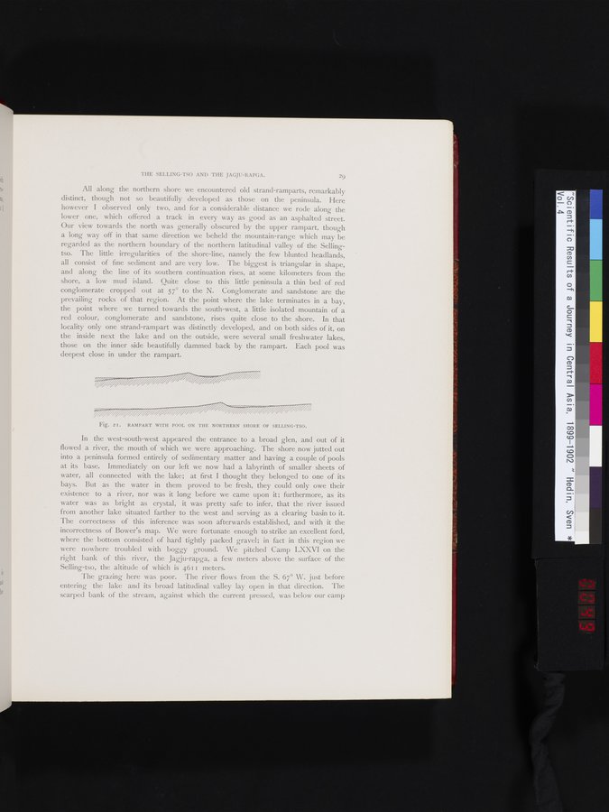
All along the northern shore we encountered old strand-ramparts, remarkably distinct, though not so beautifully developed as those on the peninsula. Here however I observed only two, and for a considerable distance we rode along the lower one, which offered a track in every way as good as an asphalted street. Our view towards the north was generally obscured by the upper rampart, though a long way off in that same direction we beheld the mountain-range which may be regarded as the northern boundary of the northern latitudinal valley of the Sellingtso. The little irregularities of the shore-line, namely the few blunted headlands, all consist of fine sediment and are very low. The biggest is triangular in shape, and along the line of its southern continuation rises, at some kilometers from the shore, a low mud island. Quite close to this little peninsula a thin bed of red conglomerate cropped out at 57° to the N. Conglomerate and sandstone are the prevailing rocks of that region. At the point where the lake terminates in a bay, the point where we turned towards the south-west, a little isolated mountain of a red colour, conglomerate and sandstone, rises quite close to the shore. In that locality only one strand-rampart was distinctly developed, and on both sides of it, on the inside next the lake and on the outside, were several small freshwater lakes, those on the inner side beautifully dammed back by the rampart. Each pool was deepest close in under the rampart.
Fig. 2I. RAMPART WITH POOL ON THE NORTHERN SHORE OF SELLING-TSO.
In the west-south-west appeared the entrance to a broad glen, and out of it flowed a river, the mouth of which we were approaching. The shore now jutted out into a peninsula formed entirely of sedimentary matter and having a couple of pools at its base. Immediately on our left we now had a labyrinth of smaller sheets of water, all connected with the lake; at first I thought they belonged to one of its bays. But as the water in them proved to be fresh, they could only owe their existence to a river, nor was it long before we came upon it; furthermore, as its water was as bright as crystal, it was pretty safe to infer, that the river issued from another lake situated farther to the west and serving as a clearing basin to it. The correctness of this inference was soon afterwards established, and with it the incorrectness of Bower's map. We were fortunate enough to strike an excellent ford, where the bottom consisted of hard tightly packed gravel; in fact in this region we were nowhere troubled with boggy ground. We pitched Camp LXXVI on the right bank of this river, the Jagju-rapga, a few meters above the surface of the Selling-tso, the altitude of which is 4611 meters.
The grazing here was poor. The river flows from the S. 67° W. just before entering the lake and its broad latitudinal valley lay open in that direction. The scarped bank of the stream, against which the current pressed, was below our camp
|
Copyright (C) 2003-2019 National Institute of Informatics and The Toyo Bunko. All Rights Reserved.