National Institute of Informatics - Digital Silk Road Project
| |||||||||
|
| Scientific Results of a Journey in Central Asia, 1899-1902 : vol.4 |
 |
THE TSO-NGOMBO LAKES. 269
river had continually increased in volume owing to the many spring-fed rivulets that run down to meet it, so that the statement of the Tibetans, that the water it then contained came from perpetual springs, would appear to be correct.
Two years later Captain C. G. Rawling travelled down beside the same river. He calls its upper part Kheo Lungma; but the name of Shankar Shah, which he gives to his Camp 81, clearly corresponds to my Tsanger-schar or Tsangar-schar. He also touched Noll, and then travelled as I did north-westwards along the northern shore of the Tso-ngombo.
A minor side-glen issuing from the north compelled us to make a detour to the north in order to get round several pools formed by springs and the marshy ground which they give rise to. Although the general slope of the strata was towards the north, that locality abounded in springs. South of the river stretches an extensive plain, with hard, barren, gravelly soil, and at a considerable distance in the same direction there were what appeared to be several parallel mountain-chains. All we could see of them were their mere outlines, so that we were unable to form any clear idea of how they are arranged. The middle of the plain that stretches north from these mountains is occupied by the eastern part of the lake of Tso-ngombo, though it was screened from us by hills. In the south and south-south-west were some conspicuous pyramidal snowy peaks. At length we turned away from the river, which flowed on towards the south-west past the southern extremity of a little offshoot of the hills. The current was moving slowly and silently, so that for this reason, as also because of its depth, the river seemed greater than it really is; all the same the volume did not, I suppose, exceed 4 to 5 cubic meters in the second.
After passing on the right bank of the river, that is to the south-west, a solitary tent, we began to climb, westwards and north-westwards, slowly up the gravel-and-shingle hills that constitute the last offshoots of the big mountains rising
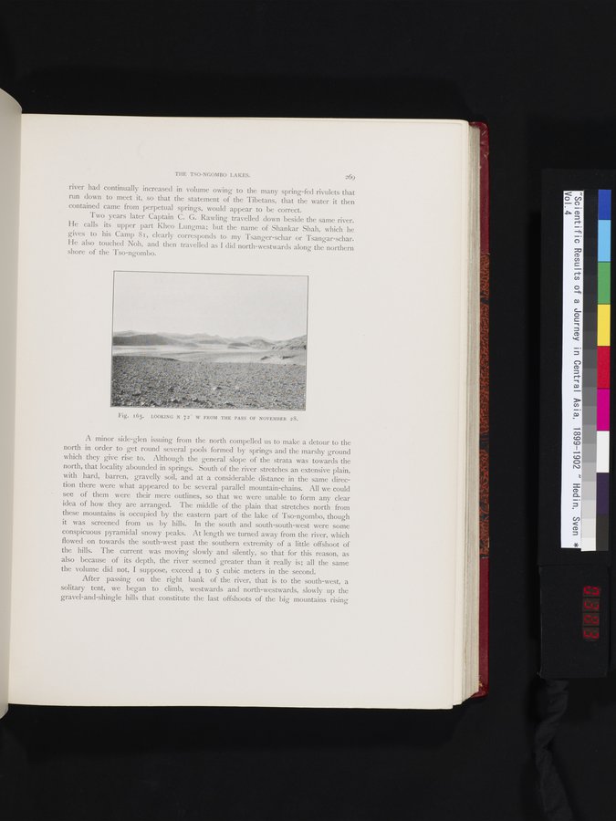
Fig. I65. LOOKING N 72' W FROM THE PASS OF NOVEMBER 28.
|
Copyright (C) 2003-2019 National Institute of Informatics and The Toyo Bunko. All Rights Reserved.