National Institute of Informatics - Digital Silk Road Project
| |||||||||
|
| Scientific Results of a Journey in Central Asia, 1899-1902 : vol.4 |
 |
OROGRAPHY OF THE TIBETAN HIGHLANDS.
573
Along the stretch between Camp XLIX and LV, where the westward continuation of the Dungbure ought to have been met with, the greatest altitude amounted to 5072 m., and there it would be still less appropriate to speak of a definitive range. In point of actual fact the greater part of that section of the journey ran through a latitudinal valley with a south-east and north-west direction, proving that the mountain-ranges in that region incline towards the south-east and east-south-east. Nevertheless I believe the orographical structure may be conceived in the way that I have reproduced it on my general map, namely as a double range, which I have called Dungbure I and Dungbure II, the more southerly of which probably corresponds to Bonvalot's »Chaîne des Volcans». Both are flat, uneven, and broken, the southern
one in particular being diversified by the lakes which I discovered between Camp XXXVI and Camp XLI. But the range which I have called Dungbure III, although it ought possibly to be regarded rather as belonging to another mountain-system situated beyond and south of the Dungbure proper, can, on the other hand, be traced in the portion of Tibet which we are discussing, with a very fair degree of probability. This, then, is the range which was crossed over a long way to the west, as I believe, by Dutreuil de Rhins by the pass which he called »Passe du Chasseur» (5362 m.), further • at a very short distance east of De Rhins's route by Littledale by a pass which he gives as being 4953 m. high, and by myself when going down towards Lhasa by a pass at an altitude of 5056 m., after which the range continues towards the east-south-east. I came into contact with it again at the pass with an altitude of 5426 m. Though this was no doubt a pass of secondary importance, it can nevertheless be used for calculating the mean pass-altitude. In this very same region Bonvalot gives two altitudes of 5188 and 5450 m., that is assuming there is no error of longitude. After that the same range continues due east;
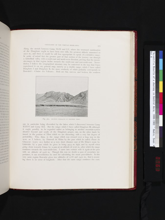
Fig. 369. EROSION TERRACES IN WESTERN TIBET.
|
Copyright (C) 2003-2019 National Institute of Informatics and The Toyo Bunko. All Rights Reserved.