National Institute of Informatics - Digital Silk Road Project
| |||||||||
|
| Scientific Results of a Journey in Central Asia, 1899-1902 : vol.4 |
 |
AMONG THE DESICCATED LAKES OF WESTERN TIBET. 233
ar~
~
~•
it
PJ,
~
mountain bluff which we saw a long way off to the east, while the range on the north side of the valley is the Jabadi and its westward continuation the Ragtsanggongjo; the range on the south, containing the peak V3, is known as Särdschunggongjo, and its westward prolongation as Pok-tova.
Then the character of the ground altered entirely,
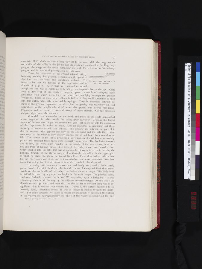
becoming nothing but gypsum, sometimes with pyramidal %7%
elevations and platforms and sometimes without. The Fig. r z 7. POOL AT THE FOOT
lowest point that we touched in the depression had an OF THE GYPSUM.
altitude of 4436 m. After that we continued to ascend,
though the rise was so gentle as to be altogether imperceptible to the eye. Quite close to the foot of the southern range we passed a couple of spring-fed pools containing fresh water, as well as one or two marshes lying amongst the gypsum formations. Some of these little hollows looked as if they could sometimes be filled with rain-water, while others are fed by springs. They lie ensconced between the edges of the gypsum expanses. In this region the grazing was extremely thin; but everywhere in the neighbourhood of water the ground was littered with kulandroppings, and we observed several troops of those animals. Orongo antelopes and partridges were also common.
Meanwhile the mountains on the north and those on the south approached nearer together; in other words the valley grew narrower. Crossing the lowest slopes of the southern range, we entered the glen that opens out into the expansion of the depression in which so many signs all concurred in intimating that there formerly a moderate-sized lake existed. The dividing-line between the part of it that is covered with gypsum and clay on the one hand and the hills that I have mentioned on the other is very sharply drawn; but no old beach-lines were discernible. The bottom of the valley produces a large number of small bushes or scrubby plants, and amongst these hares were especially numerous. The bordering terraces are distinct, but very much rounded; in the middle of the watercourse there was not one trace of running water. Yet through this valley there once flowed a river which emptied into the lake that has disappeared. Deasy is in error in making the principal branch of the Ravur-tsangpo flow through this valley, in the upper part of which he places the above mentioned Bum Cho. There does indeed exist a lake but no river issues out of it; nor is it conceivable that water sometimes does flow down this valley, for if it did signs of it would remain in the river-bed.
The valley still continues to contract, and finally we passed a defile barely 5o m. broad. Its origin is due to the fact that a small elongated bluff rises immediately on the north side of the valley, but below the main range. This little bluff is divided into two by a gorge that begins in the main range. The principal valley continues faithfully towards the N. 6o° W., expanding again a little; but it is still relentlessly shut in all the way by the adjacent mountain-ranges. At the defile the altitude reached 4518 m., and after that the rise as far as our next camp was so insignificant that it escaped our observation. Generally the surface appeared to be perfectly level, sometimes indeed it was as though it inclined towards the northwest. For some stretches we failed to detect any indications of erosion in the bottom of the valley; but hydrographically the whole of this valley, reckoning all the way
Hedin, .7ourney in Central Asia. IV 3°
|
Copyright (C) 2003-2019 National Institute of Informatics and The Toyo Bunko. All Rights Reserved.