National Institute of Informatics - Digital Silk Road Project
| |||||||||
|
| Scientific Results of a Journey in Central Asia, 1899-1902 : vol.4 |
 |
DESCENDING FROM THE HIGH PLATEAU. 263
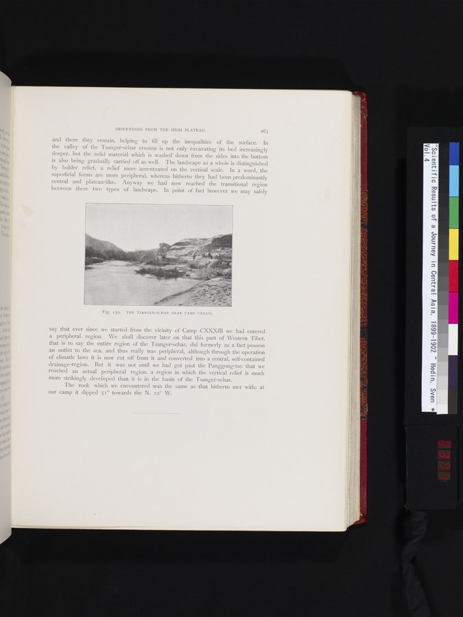
and there they remain, helping to fill up the inequalities of the surface. In the valley of the Tsanger-schar erosion is not only excavating its bed increasingly deeper, but the solid material which is washed down from the sides into the bottom is also being gradually carried off as well. The landscape as a whole is distinguished by bolder relief, a relief more accentuated on the vertical scale. In a word, the superficial forms are more peripheral, whereas hitherto they had been predominantly central and plateau-like. Anyway we had now reached the transitional region between these two types of landscape. In point of fact however we may safely
Fig. 159. THE TSANGER-SCHAR NEAR CAMP CXXXVI.
say that ever since we started from the vicinity of Camp CXXXIII we had entered a peripheral region. We shall discover later on that this part of Western Tibet, that is to say the entire region of the Tsanger-schar, did formerly as a fact possess an outlet to the sea, and thus really was peripheral, although through the operation of climatic laws it is now cut off from it and converted into a central, self-contained drainage-region. But it was not until we had got past the Panggong-tso that we reached an actual peripheral region, a region in which the vertical relief is much more strikingly developed than it is in the basin of the Tsanger-schar.
The rock which we encountered was the same as that hitherto met with; at our camp it dipped 51° towards the N. 12° W.
|
Copyright (C) 2003-2019 National Institute of Informatics and The Toyo Bunko. All Rights Reserved.