National Institute of Informatics - Digital Silk Road Project
| |||||||||
|
| Scientific Results of a Journey in Central Asia, 1899-1902 : vol.4 |
 |
146
WESTWARDS TO LADAK.
one along which Littledåle travelled. There we detected the gleam of a level, chalky white expanse, apparently a desiccated salt lake of the same kind as those which are so numerous farther west. Possibly it is at times filled with water. The river, which in summer is formed by all the then dry watercourses that we crossed over, and that are separated by flat, inconsiderable thresholds, clearly makes its way into this temporary lake. On the north of the lake the big latitudinal valley is bordered by a mountain-range, which appeared to be about 3o km. distant. The second threshold-pass reached an altitude of 4,751 m., and the third, which is more marked, an altitude of 4,801 m. The district lying a little beyond the latter is called Godschu. There we carne across grass, springs, and pools, some of which contained salt water, others fresh water. The altitude there reached 4,812 m. All day the wind blew hard from the west, though the sky was perfectly bright; at night however there was practically no wind at all.
At some distance from our camp there were nomads resting, and from them we procured milk both fresh and sour.
On the 15th October the landscape was just as monotonous as on the days preceding: we continued through the same latitudinal valley, which hitherto had taken us to the west and then to the west-north-west. Generally it is narrow, and runs between two parallel ranges of mountains,
of which that on the north is sometimes broken by transverse glens. Here therefore the ground slopes towards the north. On the south rises a vast upswelling of the surface, while on the north is the broad latitudinal valley through which ran Littledale's route. At first the range that we had nearest to us on the south was tolerably rounded and its northern flanks seamed by a number of pretty deeply incised watercourses. None of them at that time carried water; in fact throughout the whole of the day we did not pass a single running stream, or a single pool or spring; though on the northern face of the southern range we did see just once or twice a small forlorn-looking patch of snow.
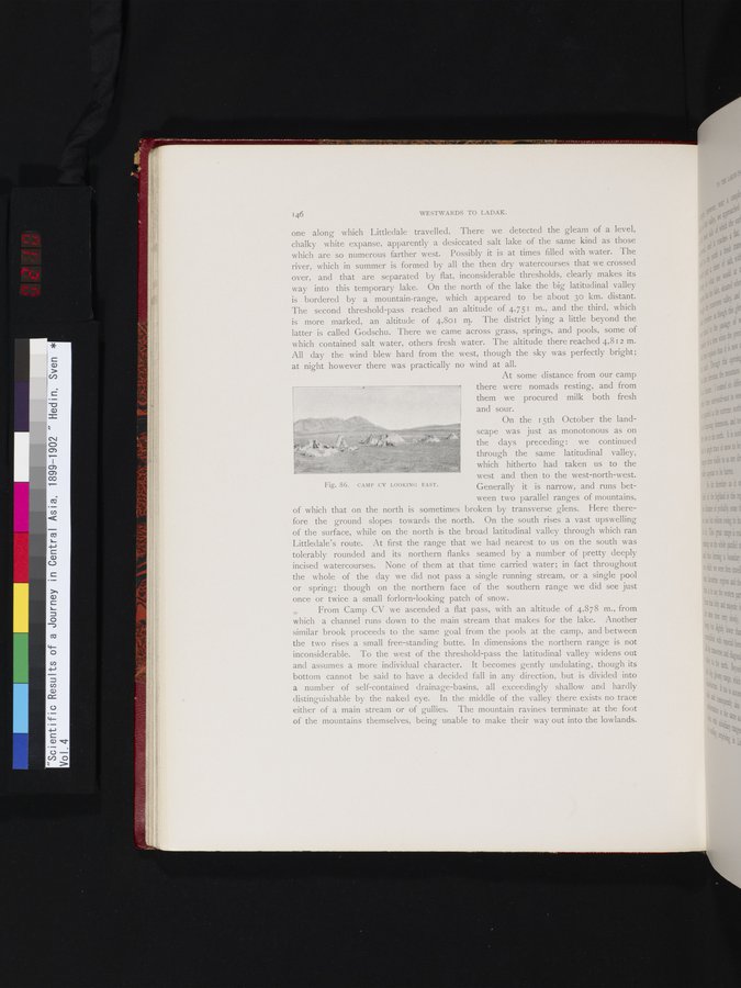
From Camp CV we ascended a flat pass, with an altitude of 4,878 m., from which a channel runs down to the main stream that makes for the lake. Another similar brook proceeds to the same goal from the pools at the camp, and between the two rises a small free-standing butte. In dimensions the northern range is not inconsiderable. To the west of the threshold-pass the latitudinal valley widens out and assumes a more individual character. It becomes gently undulating, though its bottom cannot be said to have a decided fall in any direction, but is divided into a number of self-contained drainage-basins, all exceedingly shallow and hardly distinguishable by the naked eye. In the middle of the valley there exists no trace either of a main stream or of gullies. The mountain ravines terminate at the foot of the mountains themselves, being unable to make their way out into the lowlands.
I
~
Fig. 86. CAMP CV LOOKING EAST.
|
Copyright (C) 2003-2019 National Institute of Informatics and The Toyo Bunko. All Rights Reserved.