National Institute of Informatics - Digital Silk Road Project
| |||||||||
|
| Scientific Results of a Journey in Central Asia, 1899-1902 : vol.4 |
 |
i
314
WESTWARDS TO LADAK.
of the relatively small area of the upper lake — in fact it may, strictly speaking, be regarded as an expansion of the river-bed — this high water would seem to go past rather rapidly. By the beginning of December the outgoing volume has already diminished to one-third, and would possibly decrease still further during the course of the winter, unless, as I have already suggested, this volume of 3 cub.m is to be regarded as the result of the contribution of the perpetual springs superadded to the volume of the Tsanger-schar, which also is derived in the first place almost entirely from springs, and consequently will remain pretty constant during the winter.
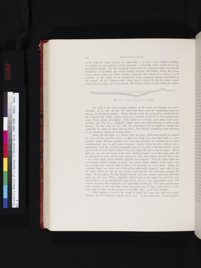
Fig. 223. 0.26 0.52 0.83 0.94 0.30 = depth.
The bed of the river is pretty straight; at all events its windings are inconsiderable. It is only on the left bank that there exist the beginnings, long and narrow, of alluvial formations. Those that lie below the spring I have mentioned are the biggest and would appear to be in a measure produced by the spring-water, which flows pretty abundantly. This water is, it is true, quite clear; but it may possibly give rise to a whirlpool, which forces the solid material to settle to the bottom. At the time of our visit the river-water was as bright as crystal, and contained no trace of either dust or mud. The alluvial formations point therefore to an enhanced activity at certain times.
Along the left bank is a narrow strip of grass, which runs rapidly up towards the foot of the gravelly screes. A little way back from the right bank is a low, rounded ridge, likewise grassed over; this may evidently be regarded as an older strand-terrace, now in great part destroyed. Lower down the river widens, and a promontory from the southern mountains forces it to form a S-shaped bend : at this spot it was covered with a sheet of ice one night old and as thin as paper. Above that we saw no ice except in the more sheltered bends; but below that point the ice increased in area, and in some places the river was entirely sheeted with a film I to 2 mm. thick, which seriously impeded our progress. Next the right bank was a crescentic alluvial deposit of pretty big extent, almost entirely under water ; this was at that time covered with a sheet of ice as much as 2 dm. thick. Along the southern bank too there was a belt of ice sufficiently strong to bear both us and the skiff. Here in one of the deeper parts we saw fish swimming amongst the Algæ. In two places the big alluvial deposit rose into islands, with steep sides and grass on the top. These originally formed part of the bank, but had been rent away from it by an exceptionally large flood, and are now independent of it. The erosion terraces still continued to be powerfully developed. We next passed three more springs on the left bank, which had given rise to large cones of ice, of the same kind as those at the springs of Temirlik, only a good deal smaller.
After making a bend to the north, in which the water was open for a short distance, the river became entirely frozen over. At the same time it grew broader,
|
Copyright (C) 2003-2019 National Institute of Informatics and The Toyo Bunko. All Rights Reserved.