National Institute of Informatics - Digital Silk Road Project
| |||||||||
|
| Scientific Results of a Journey in Central Asia, 1899-1902 : vol.4 |
 |
THE TSOLLA-ICING-TSO AND THE LUJIA-RING-TSO. 213
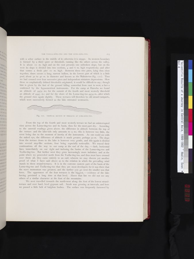
with a schor surface in the middle of it; otherwise it is steppe. Its western boundary is formed by a third »pier» or threshold, running like the others across the valley. It is about I o m. high and on the east presents one unbroken slope, but on the west its slope is divided into two sections, 4 and 6 m. high respectively; and after that comes a fresh pier I o m. high. Between these two piers, lying thus close together, there occurs a long, narrow hollow, in the lowest part of which is a little pool, about 3o to 40 m. in diameter and known as the Makuin-tso (fig. 121). Thus we had crossed over four successive piers and independent miniature depressions. How these so emphatically defined thresholds originated, it would be difficult to say; though hint is given by the fact of the ground falling somewhat from east to west, a fact a confirmed by the hypsometrical instruments. For the camp at Harschu we found an altitude of 4454 m.; for the summit of the fourth and most westerly threshold an altitude of 4443 m.; and for the shore of the Luma-ring-tso 4434 m., after which the ground rises again slightly. These terraces will therefore be old strand-ramparts, which were successively formed as the lake retreated westwards.
| /zx | |
| Fig. I2I. VERTICAL SECTION OF TERRACES AT LUMA-RING-TSO. |
From the top of the fourth and most westerly terrace we had an uninterrupted view across the Luma-ring-tso and its basin, then for the most part dry. According to the aneroid readings given above, the difference in altitude between the top of the terrace and the lake-side only amounts to 9 m.; this is however too little, the error being due to the moment of inertia of the instrument. As one could see with the naked eye, the difference of altitude is much greater, perhaps 3o m. The slope from the terrace down to the lake is however very gentle, and this again is divided into several step-like sections, four being especially noticeable. We traced their continuations all the way to our camp at the end of the day, — dark, horizontal lines immediately on our right and inclosing the basins of the Luma-ring-tso and Tsolla-ring-tso. But farther west they grew increasingly more indistinct, and at the point where we proceeded north from the Tsolla-ring-tso, and thus must have crossed over them all, they came entirely to an end; wherein we may discern yet another proof of what I have said above as to the relation in which the prevailing wind stands to these strand-terraces. It is in the extreme eastern part of the basin of the Luma-ring-tso and Tsolla-ring-tso that they are most developed, for it was there that the wave momentum was greatest, and the farther you go west the smaller was that force. The uppermost of the four terraces is the biggest, — evidence of the lake having persisted a long time at that level. Above that line we did not see any others of a similar character at the foot of the mountains.
We next travelled towards the north-west along the foot of the lowest strand-terrace and over hard, level gypsum soil. Scrub was growing at intervals, and here we passed a little belt of balghun bushes. The surface was frequently furrowed by
|
Copyright (C) 2003-2019 National Institute of Informatics and The Toyo Bunko. All Rights Reserved.