National Institute of Informatics - Digital Silk Road Project
| |||||||||
|
| Scientific Results of a Journey in Central Asia, 1899-1902 : vol.4 |
 |
WESTWARDS TO LADAK.
360
I did not myself take any observations, at all events I took none regularly, nor did I draw any map of the road; for in the first place I looked upon the trip in the light of a well-earned holiday, and in the second I travelled by a well-known route, which, together with the adjacent country, has been already mapped and examined in detail. Nevertheless I venture to add a few words about the road to Srinagar, so that I may give at least some idea of the region that serves as the transition from the Tibetan highlands to the deeply excavated, and with respect to their vertical relief, the so energetically sculptured glens and valleys on the southern face of the Himalayas. Whilst we were still within the inland-drainage regions of western Tibet we had come across anticipations of the transition from the plateau-like high-
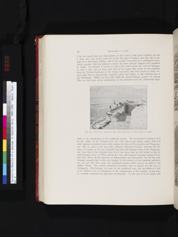
Fig. 283. THE INDUS VALLEY AS SEEN FROM THE ROOF OF THE TEMPLE OF TIKSE.
e~
lands to the morphology of the peripheral regions. We encountered evidences of it in the valley of the Tsanger-schar and after that in the bigger valley, fenced in with immense mountain-masses, that contains the lakes of Tso-ngombo and Panggongtso. But we came to the first really definitely indicated boundary between the two types of country at the low threshold that parts the drainage-basin of the Panggongtso from that of the Schejok river; for it was there that we left behind us the inland-drainage areas of Tibet, indeed the vast self-contained drainage-region of Central Asia, where all the products of disintegration and denudation, and all the sedimentary material that results, are retained in the interior of the continent, and there too we set first foot upon the peripheral regions which possess an outlet to the Indian Ocean. The second well-defined boundary that we passed was the pass of Tschang-la. This belongs, it is true, to the peripheral zone, but nevertheless it had to be climbed over in consequence of the configuration of the country. In any case, it certainly constitutes an important dividing-line. To the east of it we found only
|
Copyright (C) 2003-2019 National Institute of Informatics and The Toyo Bunko. All Rights Reserved.