National Institute of Informatics - Digital Silk Road Project
| |||||||||
|
| Scientific Results of a Journey in Central Asia, 1899-1902 : vol.4 |
 |
~
570 OROGRAPHY OF CENTRAL TIBET.
schili ranges is manifestly neither a salient nor yet a continuous feature of the country, but is rather more broken and irregular, much smaller, and in all probability in-closes only a few self-contained basins and a few lakes. On the contrary the configuration appears to be of such a character that a river, which has its source between the two ranges, generally cuts its way through one of them, the northern range in order to reach my latitudinal valley and terminate in one or other of its lakes, 'the southern range in order to empty itself into one of Wellby's lakes. This obviously presupposes as a condition that that latitudinal valley, being as it is more intimately connected with the two Koko-schili ranges, must of necessity lie a step higher than the two big, more independent and detached latitudinal valleys, and in point of fact its mean altitude does run up to 5007 m., as compared with 4912 m. in the northern valley and 4922 in the southern.
I ,,
~
H~
We have just ascertained that Arka-tagh IV is the highest of the ten North Tibetan ranges and possesses a mean pass-altitude of 5262 m. As we proceed northwards from this vast ridge, the other parallel ranges grow step by step lower, and the same thing holds good if you travel south from the same range, for the Kokoschili ranges reach altitudes of 5138 m. and 5102 m. respectively. In so far therefore as this part of Tibet is concerned, Arka-tagh IV may be regarded as the backbone or culminating ridge of the Tibetan highlands.
In the table given on pp. 563-564. I have put together the differences of altitude between the crests and the latitudinal valleys, and the result is, that we find them
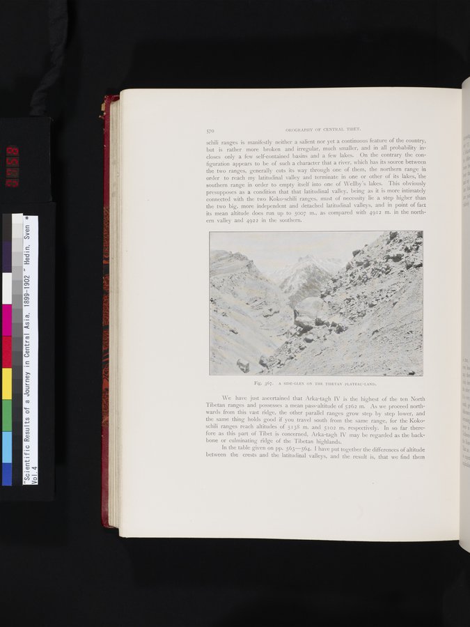
Fig. 367. A SIDE—GLEN ON THE TIBETAN PLATEAU—LAND.
of.
|
Copyright (C) 2003-2019 National Institute of Informatics and The Toyo Bunko. All Rights Reserved.