National Institute of Informatics - Digital Silk Road Project
| |||||||||
|
| Scientific Results of a Journey in Central Asia, 1899-1902 : vol.4 |
 |
188 WESTWARDS TO LADAK.
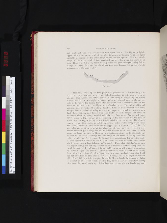
just mentioned was even broader and more open than it. The big range lightly tipped with snow at the head of the glen is known as Tschong-re, and is again probably a portion of the main range of the southern system. Thus the middle range of the three which I first mentioned has here died away and come to an end. There was still a tiny brook flowing down this great side-glen, being fed by springs not very far away, but the rivulet very soon became lost in the gravelly watercourse of the main valley.
This last, which up to that point had generally had a breadth of 50o to 1,000 m., there narrows to ?oo m., indeed sometimes to only too, or even 5o meters. Thus almost the entire bottom of the valley is occupied by the watercourse, with its abrupt marginal terraces. When the channel hugs closely the one side of the valley, the terrace there often disappears and is developed only on the outer or opposite side. Partridges were abundant here. The valley, which had recently held a west-north-westerly direction, turns to the north-west, and finally merges into a latitudinal valley of a »higher» type, very broad and open, with a fairly level bottom, and bounded on the north by dark ranges and chains of moderate elevation, mostly rounded and quite free from snow. We pitched Camp CXV beside a little spring at the beginning of the new valley, but the yield of water was so niggardly that it was barely sufficient for our wants. The altitude was 4,573 m. This locality is called Regong-ka. Just above the spring we observed the same species of rock as heretofore, dipping 58° towards the S. 2o° W. Of the other names given to me at this place the following may be recorded: a prominent mountain peak rising due east is called Marvo-damduk; the mountain to the north-east bears the name of Repschta; a mountainous district to the east-south-east is said to be called Nadong; the dark range on the north of the big latitudinal valley is called the Nagri-gosum; Jeri:-tombo is a mountainous district to the south; a little yellowish mountain to the N. 5° W. bears the naine of Jombo; and another district quite close at hand is known as Tschubjuk. From what Littledale's map says, we appear during our last day's march to have followed a different valley from that which he travelled by; although it is impossible to speak with anything approaching to certainty upon this matter. Certain circumstances seem to point to his having kept all the way from »Sponjen Baptse-tso» to a more southerly route than I did, for not only does his map show a very broad valley, but on the right or northern side of it I find in a little side-glen the words »Kundo-Gomba (abandoned)». When I inquired of my Tibetan escort, whether they knew of any old monastery bearing that name, they unanimously agreed that there was one, and when, at Bondsching-tso, I
Fig. 107.
|
Copyright (C) 2003-2019 National Institute of Informatics and The Toyo Bunko. All Rights Reserved.