National Institute of Informatics - Digital Silk Road Project
| |||||||||
|
| Scientific Results of a Journey in Central Asia, 1899-1902 : vol.4 |
 |
FROM I,EH TO RAWAL-PINDI. 369
village lies at an altitude of 11,240 feet and the pass at 13,456 feet, so that the difference of altitude is not far short of 700 m. The higher we climbed the greater grew the quantity of snow, until finally it formed a continuous sheet, though it was not at all thick. The brook that runs down from the pass was frozen into big sheets of ice occupying a large portion of the bottom of the glen. As we approached the top, we found that the relative altitude decreased and the scenery grew relatively tamer, while up on the top the country was leveller. The actual pass itself is gently rounded and marked with a cairn of stones. Thence the road slopes
beside the brook uniformly down to Karbu, being often pretty high above the floor of the valley; but at the outlet of every side-glen it dips down into the bottom, and climbs just as steeply up again on the other side. We passed several other villages. After leaving Karbu the road continues for a space on the left side of the river, which is called on the English map Saneeloomak, and empties itself into the Indus. Between its right bank and the left bank of the Indus rises the mountain-chain which we had just crossed over by the Fotu-la, unless indeed we ought not rather to look upon this pass as being situated on a transverse col connecting that chain (which runs parallel to the Indus) and the loftier glacier-crowned range which lies to the south of it. We then made our way up a little side-glen to the pass of Namika-la (13,008 feet) in the next subsidiary chain. There the snow was more abundant than on the Fotu-la. Thence it is no great distance down to Mulbek, which lies on the river Wakkha, an affluent of the Suru, which itself is a tributary
of the Indus.
Hedin, Tourney in Central Asia. IV.
47
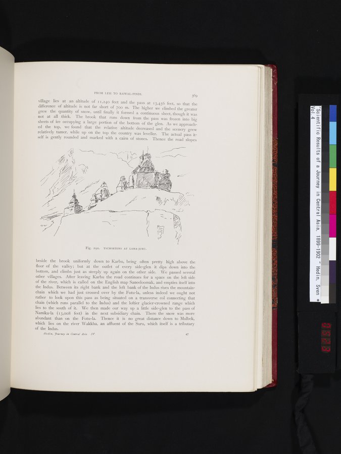
Fig. 290. TSCHORTENS AT LAMA-JURU.
|
Copyright (C) 2003-2019 National Institute of Informatics and The Toyo Bunko. All Rights Reserved.