National Institute of Informatics - Digital Silk Road Project
| |||||||||
|
| Scientific Results of a Journey in Central Asia, 1899-1902 : vol.4 |
 |
THE NAKTSONG-TSO - EAST AND SOUTH.
45
took us an hour's ride towards the west-south-west to reach the lake-side. The point at which we struck it was a rather wide bay, lying between the mass MQ and the nearest not very accentuated mountain-masses to the south of it. The ground consisted of sand and fine gravel and the shore plunges down rather abruptly
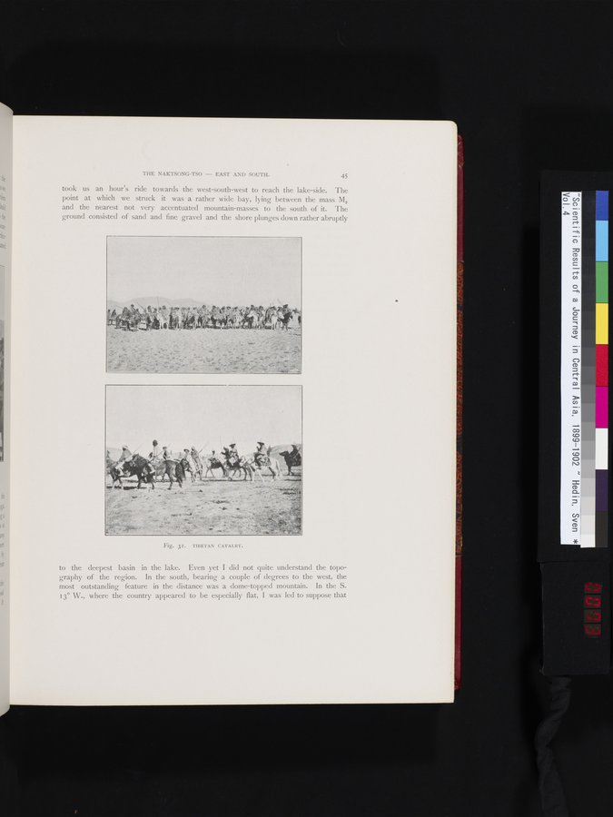
Fig. 32. TIBETAN CAVALRY.
to the deepest basin in the lake. Even yet I did not quite understand the topography of the region. In the south, bearing a couple of degrees to the west, the most outstanding feature in the distance was a dome-topped mountain. In the S. 13° W., where the country appeared to be especially flat, I was led to suppose that
|
Copyright (C) 2003-2019 National Institute of Informatics and The Toyo Bunko. All Rights Reserved.