National Institute of Informatics - Digital Silk Road Project
| |||||||||
|
| Scientific Results of a Journey in Central Asia, 1899-1902 : vol.4 |
 |
THE WESTERN PANGGONG-TSO.
341
in sedimentary dunes, generally disposed in long lines, and often with scrub growing on them, which converts them into small mounds of the usual East Turkestan character. The plain is crossed diagonally by a river-bed of the highest importance, about 6 m. deep and in general a hundred meters or so broad, and inclosed between scarped erosion terraces, which show admirably the several layers of clay and sand. At the bottom lay an almost continuous ice-sheet, broken only in the middle by a long, narrow bank of sand and mud. No running water was however visible, though possibly there may have been a current underneath the ice. This river issues wholly out of the glen which we saw opening to the north-west, though higher
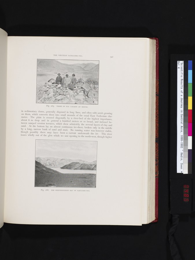
Fig. 265. THREE OF OUR LADAKIS AT SERTSE.
Fig. 266. THE NORTHWESTERN BAY OF PANCGONG-TSO.
|
Copyright (C) 2003-2019 National Institute of Informatics and The Toyo Bunko. All Rights Reserved.