National Institute of Informatics - Digital Silk Road Project
| |||||||||
|
| Scientific Results of a Journey in Central Asia, 1899-1902 : vol.4 |
 |
|
| ||||
| I20 | WESTWARDS TO LADAK. | |||
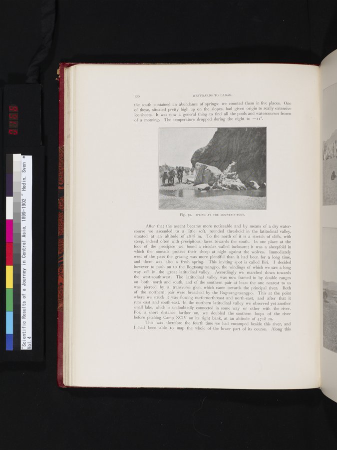
| the south contained an abundance of springs: we counted them in five places. One of these, situated pretty high up on the slopes, had given origin to really extensive ice-sheets. It was now a general thing to find all the pools and watercourses frozen of a morning. The temperature dropped during the night to --I i °. | ||||
| Fig. 70. SPRING AT THE MOUNTAIN-FOOT. | ||||
| After that the ascent became more noticeable and by means of a dry watercourse we ascended to a little soft, rounded threshold in the latitudinal valley, situated at an altitude of 4818 m. To the north of it is a stretch of cliffs, with steep, indeed often with precipitous, • faces towards the south. In one place at the foot of the precipice we found a circular walled inclosure; it was a sheepfold in which the nomads protect their sheep at night against the wolves. Immediately west of the pass the grazing was more plentiful than it had been for a long time, and there was also a fresh spring. This inviting spot is called Biri. I decided however to push on to the Bogtsang-tsangpo, the windings of which we saw a long way off in the great latitudinal valley. Accordingly we marched down towards the west-south-west. The latitudinal valley was now framed in by double ranges on both north and south, and of the southern pair at least the one nearest to us was pierced by a transverse glen, which came towards the principal river. Both of the northern pair were breached by the Bogtsang-tsangpo. This at the point where we struck it was . flowing north-north-east and north-east, and after that it runs east and south-east. In the northern latitudinal valley we observed yet another small lake, which is undoubtedly connected in some way or other with the river. For, a short distance farther on, we doubled the southern loops of the river before pitching Camp XCIV on its right bank, at an altitude of 4718 m. This was therefore the fourth time we had encamped beside this river, and I had been able to map the whole of the lower part of its course. Along this | ||||
|
Copyright (C) 2003-2019 National Institute of Informatics and The Toyo Bunko. All Rights Reserved.