National Institute of Informatics - Digital Silk Road Project
| |||||||||
|
| Scientific Results of a Journey in Central Asia, 1899-1902 : vol.4 |
 |
THE EASTERN PANGGONG-TSO. 323
favourable; that is, where there exists a rocky slope with a steep fall and an accumulation of weathered materials at its base. These ledges furnish a striking proof of the fact, that the level of the lake is constantly falling. The upper part of each of these terraces will thus have been for a certain period an abrasion surface; after the lake has then dropped one or two meters, the base of the terrace will begin to be eaten into by the waves, and so become undermined, the result being a projecting ledge or cornice. The tenacity of the material is so great that the ledge will often project several meters and form a sort of roof over a grotto (fig 235). The terraces are, as it were, cemented to the face of the solid rock and occur with the greatest frequency on the eastern and western sides of each peninsula. For long distances these terraces make first-rate, level paths; but in consequence of the ravine-like gaps in them they are unsuited for a camel-caravan. A caravan composed of camels must find its way along down below them.
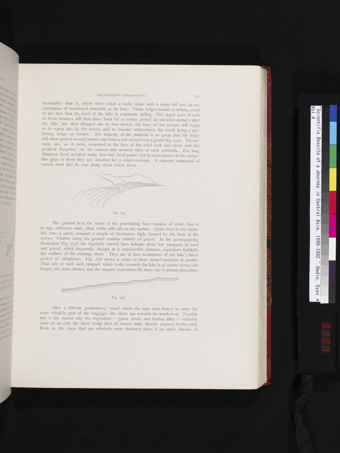
The ground next the water in the penetrating bays consists of schor, that is to say, saliferous mud, often white with salt on the surface. Quite close to the shoreline runs a sandy rampart a couple of decimeters high, formed by the beat of the waves. Farther away the ground consists entirely of gravel. In the accompanying illustration (fig. 237) the regularly curved lines indicate these low ramparts of sand and gravel, which frequently, though at a considerable distance, reproduce faithfully the outlines of the existing shore. They are in fact mementoes of the lake's latest period of subsidence. Fig. 238 shows a series of these strand-ramparts in profile. That side of each such rampart which looks towards the lake is of course always the longer, the more distinct, and the steeper; sometimes the inner one is absent altogether.
After a difficult promontory, round which the men were forced to carry the more valuable part of the baggage, the shore ran towards the north-west. Possibly this is the reason why the vegetation — grass, scrub, and bushes alike — suddenly came to an end, the shore being then of course more directly exposed to the wind. Even in the bays that are relatively more sheltered there is an entire absence of
Fig 237.
Fig. 238.
|
Copyright (C) 2003-2019 National Institute of Informatics and The Toyo Bunko. All Rights Reserved.