National Institute of Informatics - Digital Silk Road Project
| |||||||||
|
| Scientific Results of a Journey in Central Asia, 1899-1902 : vol.4 |
 |
THE TSOLLA-RING-TSO AND THE LUMA-RING-TSO. 205
Paktschuk, probably only summer grazing-grounds with springs. The nearest mountains on the right, where the little isolated range terminates, is called Jugmo. Farther on the southern range is known as Jungla-tak. Matscha and Naktscha are the names of two conspicuous rounded protuberances on the north of our route. A locality to the
t
it
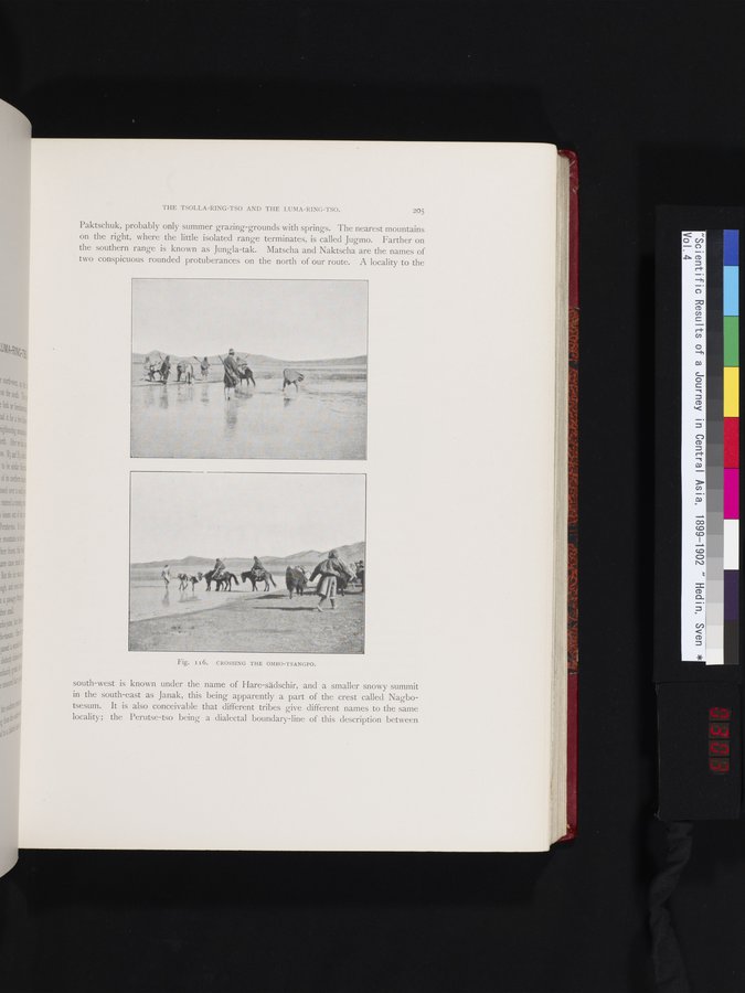
Fig. I16. CROSSING THE OMBO-TSANGPO.
south-west is known under the name of Hare-sädschir, and a smaller snowy summit in the south-east as Janak, this being apparently a part of the crest called Nagbotsesum. It is also conceivable that different tribes give different names to the same locality; the Perutse-tso being a dialectal boundary-line of this description between
|
Copyright (C) 2003-2019 National Institute of Informatics and The Toyo Bunko. All Rights Reserved.