National Institute of Informatics - Digital Silk Road Project
| |||||||||
|
| Scientific Results of a Journey in Central Asia, 1899-1902 : vol.4 |
 |
li
180 WESTWARDS TO LADAK.
the valley is rather broken; its lowest part lies next the foot of the mountains on the north, and it is there too that the three clay depressions are situated. Generally the profile of the valley is like that shown in the accompanying sketch (fig. r o i ).
At length however we approached a definitive pass, at an altitude of 4,866 m., and on the other side of it a total change takes place in the orographical structure. To the north-west appeared a very extensive expansion, with several big valleys opening out upon it. From the pass the surface falls more quickly towards the north-west and north-north-west. We next doubled a projecting rocky promontory on the right, and crossed over a couple of dry watercourses, containing a little water, the altitude there being 4,766 m. There too we lighted upon three Tibetan tents, with big herds of yaks, although the pasture was very thin. That locality is said to be called Schagbo-sadschu, and the brook Schagué-tschu. The latter contained some small fish.
At the present time this region is not inhabited; but that the nomads do graze their flocks and herds there at other seasons,
probably in summer, was evident from our passing no less than four
? r sheepfolds, the usual semicircular stone walls, in shape like a sickle
` and open to the east. Three of these stood quite close together,
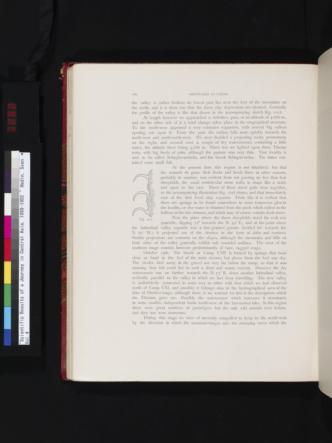
as the accompanying illustration (fig. 102) shows, and that immediately east of the first level clay expanse. From this it is evident that there are springs to be found somewhere in some transverse glen in the locality, or else water is obtained from the pools which collect in the hollows in the late summer, and which may of course contain fresh water.
Near the place where the three sheepfolds stood the rock was
Fig. 102.
quartzite, dipping 72° towards the N. 39° E., and at the point where the latitudinal valley expands was a fine-grained granite, bedded 66° towards the N. 6o° W.; it projected out of the detritus in the form of slabs and cornices. Similar projections are common on the slopes, although the mountains and hills on both sides of the valley generally exhibit soft, rounded outlines. The crest of the southern range consists however predominantly of bare, ragged crags.
October 24th. The brook at Camp CXII is formed by springs that issue close at hand in the bed of the main stream; but above them the bed was dry. The rivulet died away in the gravel not very far below the camp, so that it was amazing how fish could live in such a short and scanty current. However the dry watercourse ran on farther towards the N. 73° E. down another latitudinal valley, evidently parallel to the valley in which we had been travelling. The new valley is undoubtedly connected in some way or other with that which we had observed north of Camp CXI, and possibly it belongs also to the hydrographical area of the lake of Dschivu-tsaga, although there is no warrant for this in the descriptions which the Tibetans gave me. Possibly the watercourse which traverses it terminates in some smaller, independent basin north-west of the last-named lake. In this region there were great numbers of partridges; but the only wild animals were kulans, and they too were numerous.
During this stage we were of necessity compelled to keep to the north-west by the direction in which the mountain-ranges ran: the sweeping curve which the
lr
|
Copyright (C) 2003-2019 National Institute of Informatics and The Toyo Bunko. All Rights Reserved.